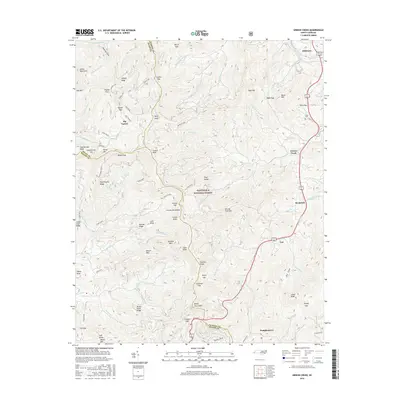
2016 Map of Greens Creek
USGS Topo · Published 2016About this map
Dillsboro sits at the northern edge of this study, where the Tuckasegee River bends through the high mountain terrain of the Alarka Mountains. The landscape is defined by the steep ridges of the Cowee Mountains and the sprawling expanse of the Nantahala National Forest. Settlement patterns follow the narrow valley floors, with small communities like Savannah, Gay, and Greens Creek established along the winding waterways of Barkers Creek and Savannah Cr.
Find a feature on this map
98 named features on this map. Tap any name to fly to it.
Don’t see what you’re looking for? This feature index may not catch every label — zoom into the map to look around manually.
Map Details
Editions of this 2016 Greens Creek Map
This is the sole edition of this map. No revisions or reprints were ever made.
Other maps of this area

1891 · Cowee
USGS Topo · 1:125,000

1897 · Cowee
USGS Topo · 1:125,000

1907 · Cowee
USGS Topo · 1:125,000

1933 · Bryson
USGS Topo · 1:62,500

1935 · Franklin
USGS Topo · 1:24,000

1935 · Cullowhee
USGS Topo · 1:24,000

1935 · Addie
USGS Topo · 1:24,000

1935 · Glenville
USGS Topo · 1:24,000

1935 · Corbin Knob
USGS Topo · 1:24,000
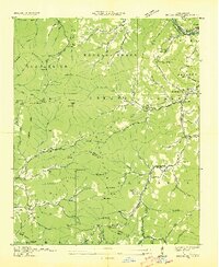
1936 · Greens Creek
USGS Topo · 1:24,000