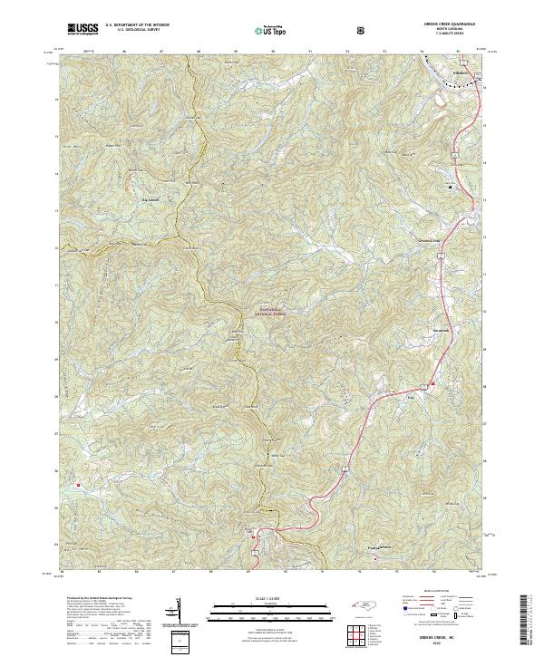
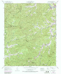
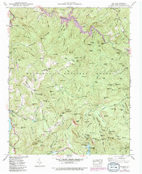
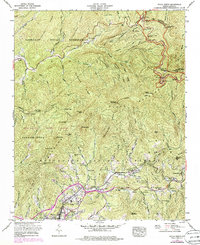
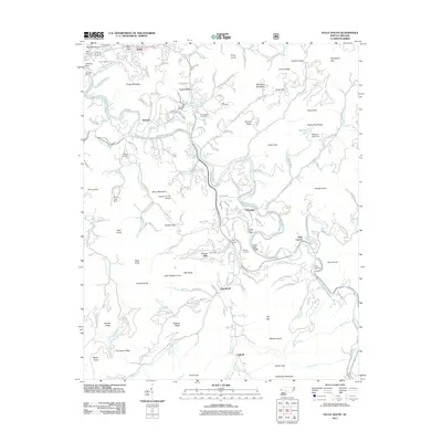
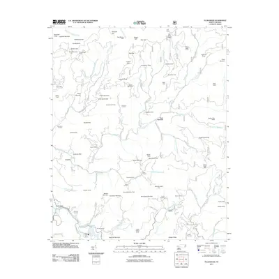
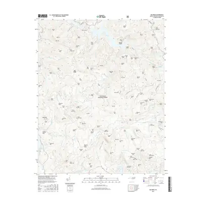
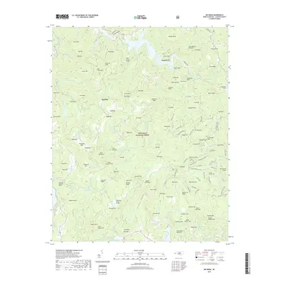
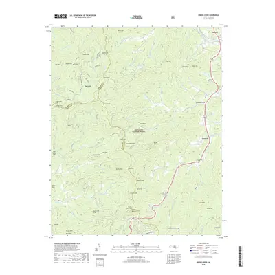
2022 Map of Greens Creek
USGS Topo · Published 2022About this map
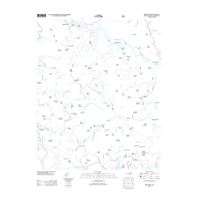
The Tuckasegee River winds through the northern portion of this landscape, anchoring the settlement of Dillsboro near the junction of multiple county lines. The terrain is defined by the high ridges of the Alarka Mountains and the Cowee Mountains, where steep drainages like Connelly Cr and Barkers Creek have shaped local settlement patterns for generations. Much of the central and western area is protected within the Nantahala National Forest, preserving a complex network of gaps and knobs such as Wesser Gap and Cowee Bald.
Find a feature on this map
119 named features on this map. Tap any name to fly to it.
Don’t see what you’re looking for? This feature index may not catch every label — zoom into the map to look around manually.
Map Details
Editions of this 2022 Greens Creek Map
This is the sole edition of this map. No revisions or reprints were ever made.
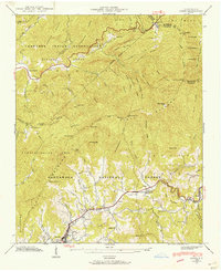
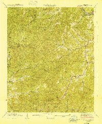
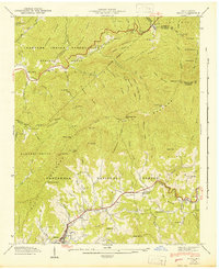
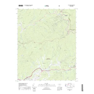
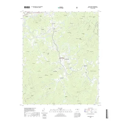
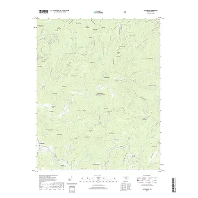
Historical Maps of Dillsboro Through Time
44 maps found

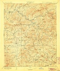
1891 Cowee
Jackson County, NC
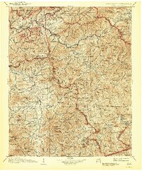
1897 Cowee
Jackson County, NC
1907 Cowee
Jackson County, NC

1935 Addie
Jackson County, NC
1935 Big Ridge
Jackson County, NC

1935 Tuckaseigee
Jackson County, NC

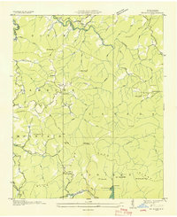
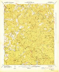
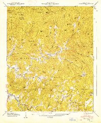
1936 Greens Creek
Jackson County, NC
1940 Greens Creek
Jackson County, NC
1941 Addie
Jackson County, NC
1941 Greens Creek
Jackson County, NC
1942 Addie
Jackson County, NC
1946 Big Ridge
Jackson County, NC
1946 Sylva South
Jackson County, NC
1946 Tuckasegee
Jackson County, NC
1947 Big Ridge
Jackson County, NC
1947 Tuckasegee
Jackson County, NC
1967 Sylva North
Jackson County, NC
1997 Tuckasegee
Jackson County, NC
2000 Sylva South
Jackson County, NC
2011 Big Ridge
Jackson County, NC
2011 Greens Creek
Jackson County, NC
2011 Sylva North
Jackson County, NC
2011 Sylva South
Jackson County, NC
2011 Tuckasegee
Jackson County, NC
2013 Big Ridge
Jackson County, NC
2013 Greens Creek
Jackson County, NC
2013 Sylva North
Jackson County, NC
2013 Sylva South
Jackson County, NC
2013 Tuckasegee
Jackson County, NC
2016 Big Ridge
Jackson County, NC
2016 Greens Creek
Jackson County, NC
2016 Sylva North
Jackson County, NC
2016 Sylva South
Jackson County, NC
2016 Tuckasegee
Jackson County, NC
2019 Big Ridge
Jackson County, NC
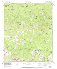
2019 Greens Creek
Jackson County, NC
2019 Sylva North
Jackson County, NC
2019 Sylva South
Jackson County, NC
2019 Tuckasegee
Jackson County, NC
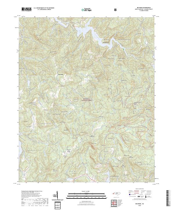
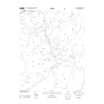
2022 Big Ridge
Jackson County, NC
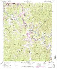
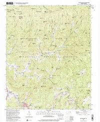
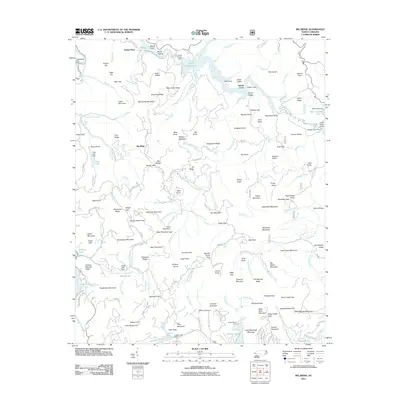
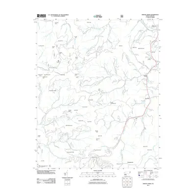
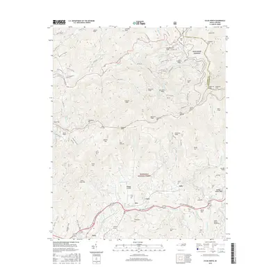
2022 Greens Creek
Jackson County, NC
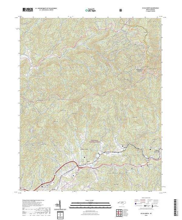
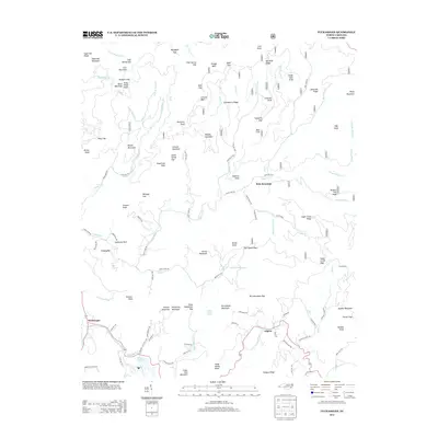
2022 Sylva North
Jackson County, NC
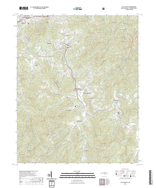
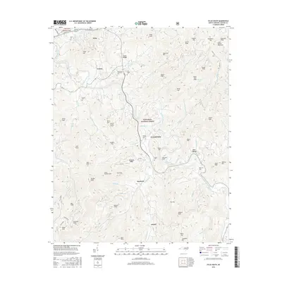
2022 Sylva South
Jackson County, NC
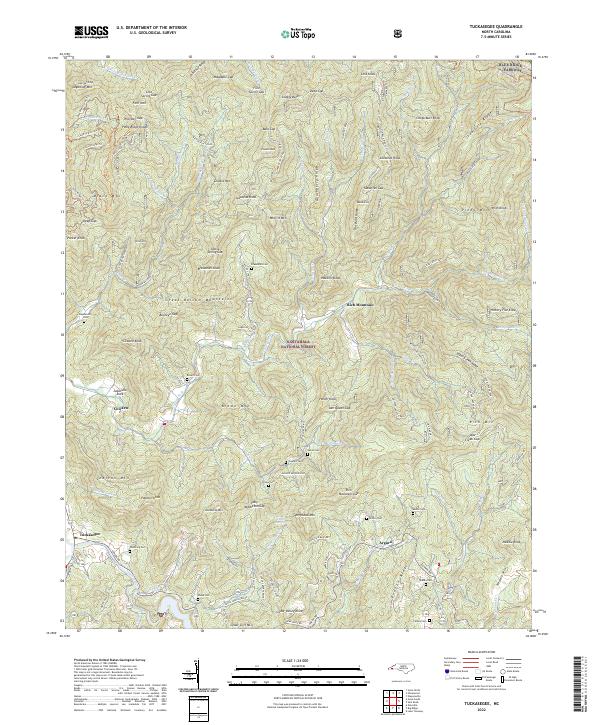
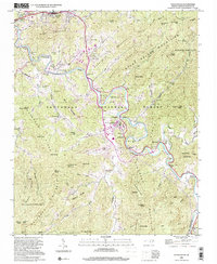
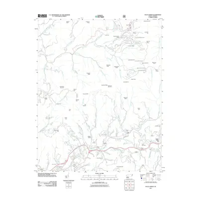
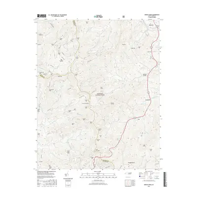
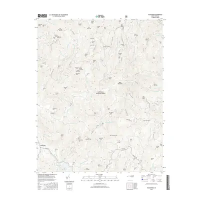
2022 Tuckasegee
Jackson County, NC