
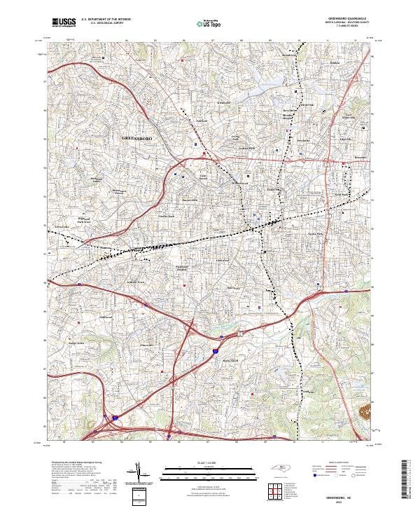
1953 Map of Greensboro
USGS Topo · Published 1981About this map
Greensboro and Danville anchor this regional overview of the North Carolina and Virginia borderlands as the landscape transitioned into the 1980s. The map captures a moment of significant hydrologic change, centering on the vast John H Kerr Reservoir and the developing waters of Lake Gaston. These man-made features altered the flow of the Roanoke River and Dan River, submerging earlier valley geographies.
Find a feature on this map
353 named features on this map. Tap any name to fly to it.
Don’t see what you’re looking for? This feature index may not catch every label — zoom into the map to look around manually.
Map Details
Editions of this 1953 Greensboro Map
This is the sole edition of this map. No revisions or reprints were ever made.
Historical Maps of Heritage Heights Through Time
9 maps found
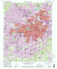
1951 Greensboro
Guilford County, NC
1953 Greensboro
Guilford County, NC

1954 Greensboro
Guilford County, NC

1962 Greensboro
Guilford County, NC

1966 Greensboro
Guilford County, NC
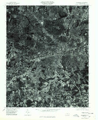
1977 Greensboro
Guilford County, NC
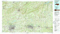
1984 Greensboro
Guilford County, NC
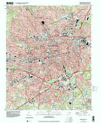
1997 Greensboro
Guilford County, NC
2022 Greensboro
Guilford County, NC