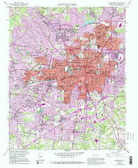
1951 Map of Greensboro
USGS Topo · Published 1994About this map
The higher-education landscape of the mid-century Piedmont is exceptionally well-defined here, anchoring the city of Greensboro with institutions like A & T College, Bennett College, Greensboro College, and the Womens College Univ of N C. Settlement patterns radiate outward from the central business district into industrial and residential hubs like Nocho Park, Terra Cotta, and McAdoo Heights. The Southern Railway corridor acts as a spine for early industrial development, passing through Pomona and near the Waterworks. On the urban periphery, the transition from city to country is marked by smaller communities such as Sedge-Town and Vandalia. This survey, revised in the early 1990s from 1951 photogrammetry, details a period of significant growth before modern interstates fully restructured the city's western and southern edges, preserving the locations of local landmarks like the Masonic Home and Sternberger Hospital Sch.
Find a feature on this map
122 named features on this map. Tap any name to fly to it.
Don’t see what you’re looking for? This feature index may not catch every label — zoom into the map to look around manually.
Map Details
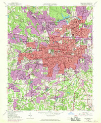
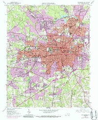
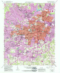
Editions of this 1951 Greensboro Map
5 editions found
Other maps of this area

1950 · High Point East
USGS Topo · 1:24,000

1951 · High Point East
USGS Topo · 1:24,000

1951 · Guilford
USGS Topo · 1:24,000

1951 · Lake Brandt
USGS Topo · 1:24,000

1951 · Browns Summit
USGS Topo · 1:24,000

1951 · Greensboro
USGS Topo · 1:24,000

1952 · Mc Leansville
USGS Topo · 1:24,000

1953 · Raleigh
USGS Topo · 1:250,000

1953 · Greensboro
USGS Topo · 1:250,000

1954 · Greensboro
USGS Topo · 1:250,000
Featured Places
- Greensboro, NC
- Sedgefield Park, NC
- Starmount Forest, Greensboro
- Meadowood Homes, Greensboro
- Friendly Acres, Greensboro