
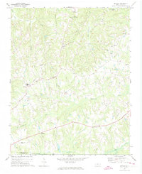
1951 Map of Browns Summit
USGS Topo · Published 1952About this map
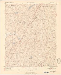
The Southern Railroad line defines the central corridor of this North Carolina landscape, linking the rural communities of Browns Summit and Rudd north of Greensboro. In the early 1950s, the area was characterized by a dense network of country churches and small schools that served the surrounding agricultural townships of Madison and Monroe. Significant local landmarks include Hardys Mill Pond along the Reedy Fork and several family-named locations such as Phibbs Cem and the Browns Summit Sch.
Find a feature on this map
36 named features on this map. Tap any name to fly to it.
Don’t see what you’re looking for? This feature index may not catch every label — zoom into the map to look around manually.
Map Details
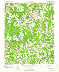
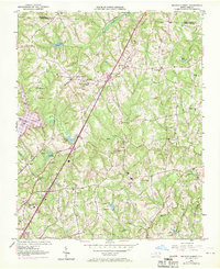
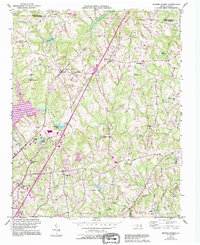
Editions of this 1951 Browns Summit Map
5 editions found
Other maps of this area

1951 · Lake Brandt
USGS Topo · 1:24,000

1951 · Greensboro
USGS Topo · 1:24,000

1952 · Mc Leansville
USGS Topo · 1:24,000

1953 · Greensboro
USGS Topo · 1:250,000

1954 · Greensboro
USGS Topo · 1:250,000

1962 · Greensboro
USGS Topo · 1:250,000

1966 · Greensboro
USGS Topo · 1:250,000

1970 · Gibsonville
USGS Topo · 1:24,000

1970 · Ossipee
USGS Topo · 1:24,000
1971 · Bethany
USGS Topo · 1:24,000