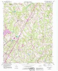
1951 Map of Browns Summit
USGS Topo · Published 1994About this map
Browns Summit and Monticello anchor this mid-century portrait of northern Guilford County, situated along the Southern railroad line as it heads toward the Virginia border. The landscape is defined by the winding course of the Reedy Fork and the early development of Lake Townsend, which altered the local topography and water drainage patterns. These hydrologic features supported earlier community hubs like Hardys Mill Pond, which appear alongside institutional landmarks such as Camp Herman and the Poplar Grove Sch.
Find a feature on this map
35 named features on this map. Tap any name to fly to it.
Don’t see what you’re looking for? This feature index may not catch every label — zoom into the map to look around manually.
Map Details
Editions of this 1951 Browns Summit Map
5 editions found
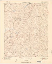
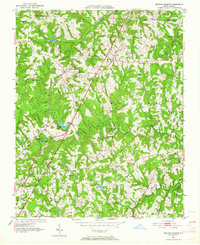
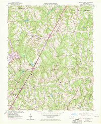
Other maps of this area

1951 · Lake Brandt
USGS Topo · 1:24,000

1951 · Browns Summit
USGS Topo · 1:24,000

1951 · Greensboro
USGS Topo · 1:24,000

1952 · Mc Leansville
USGS Topo · 1:24,000

1953 · Greensboro
USGS Topo · 1:250,000

1954 · Greensboro
USGS Topo · 1:250,000

1962 · Greensboro
USGS Topo · 1:250,000

1966 · Greensboro
USGS Topo · 1:250,000

1970 · Gibsonville
USGS Topo · 1:24,000

1970 · Ossipee
USGS Topo · 1:24,000