
1951 Map of Lake Brandt
USGS Topo · Published 1952About this map
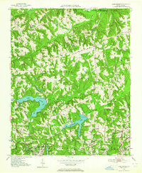
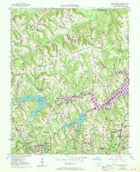
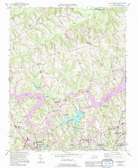
The Guilford Courthouse Natl Military Park occupies the southwestern corner of this topographic study, anchoring a landscape where rural crossroads and emerging water infrastructure meet. At the center of the sheet, Lake Brandt and the Greensboro Waterworks reflect the growing municipal needs of the region during the early 1950s. The northern reaches remain largely agrarian, characterized by the winding courses of the Haw River and Mears Fork.
Find a feature on this map
45 named features on this map. Tap any name to fly to it.
Don’t see what you’re looking for? This feature index may not catch every label — zoom into the map to look around manually.
Map Details
Editions of this 1951 Lake Brandt Map
4 editions found
Other maps of this area

1951 · Guilford
USGS Topo · 1:24,000

1951 · Browns Summit
USGS Topo · 1:24,000

1951 · Greensboro
USGS Topo · 1:24,000

1952 · Mc Leansville
USGS Topo · 1:24,000

1953 · Greensboro
USGS Topo · 1:250,000

1954 · Greensboro
USGS Topo · 1:250,000

1962 · Greensboro
USGS Topo · 1:250,000

1966 · Greensboro
USGS Topo · 1:250,000

1969 · Summerfield
USGS Topo · 1:24,000
1971 · Ellisboro
USGS Topo · 1:24,000