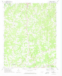
1971 Map of Ellisboro
USGS Topo · Published 1974About this map
Dan River flows across the northern edge of this North Carolina landscape, where the Norfolk and Western Railway cuts through the river valley near a local claypit. The settlement of Ellisboro sits as a central hub, surrounded by a dense network of country churches including Ellisboro Ch, Sardis Ch, and New Hope Ch. The rural character of the early 1970s is further defined by scattered landmarks like the Drive-in Theater and the small communities of Intelligence and Gold Hill. Southward, the terrain is shaped by the winding courses of Hogans Creek and Troublesome Creek as they move toward the Rockingham Co Guilford Co line. This survey captures a moment of established rural life, marked by many family-named churches and cemeteries that serve as vital touchpoints for local genealogy.
Find a feature on this map
34 named features on this map. Tap any name to fly to it.
Don’t see what you’re looking for? This feature index may not catch every label — zoom into the map to look around manually.
Map Details
Editions of this 1971 Ellisboro Map
2 editions found
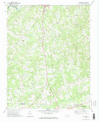
Other maps of this area

1951 · Lake Brandt
USGS Topo · 1:24,000

1953 · Winston-Salem
USGS Topo · 1:250,000

1953 · Greensboro
USGS Topo · 1:250,000

1954 · Greensboro
USGS Topo · 1:250,000

1955 · Winston-Salem
USGS Topo · 1:250,000

1962 · Winston-Salem
USGS Topo · 1:250,000

1962 · Greensboro
USGS Topo · 1:250,000

1966 · Greensboro
USGS Topo · 1:250,000

1969 · Summerfield
USGS Topo · 1:24,000

1969 · Belews Creek
USGS Topo · 1:24,000