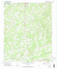
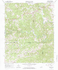
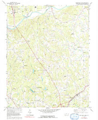
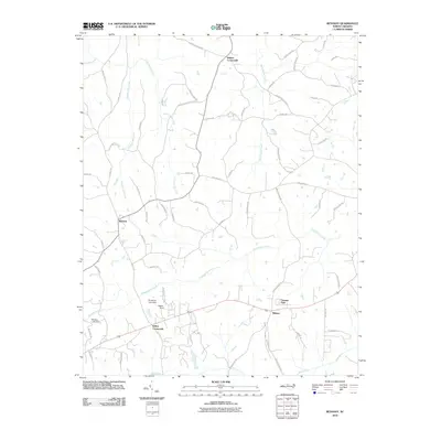
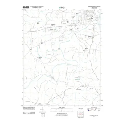
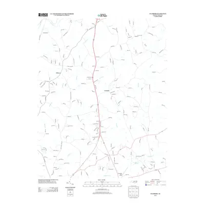
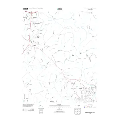
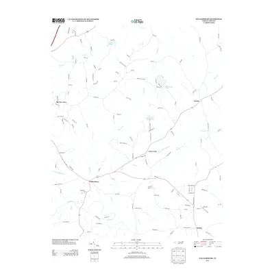
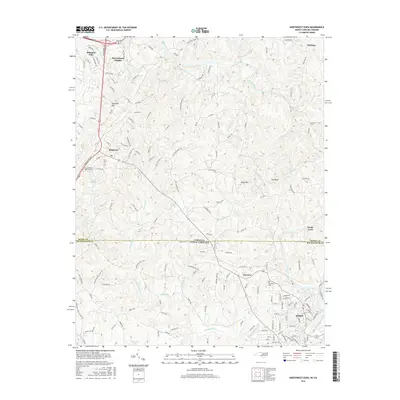
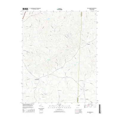
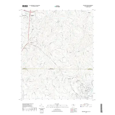
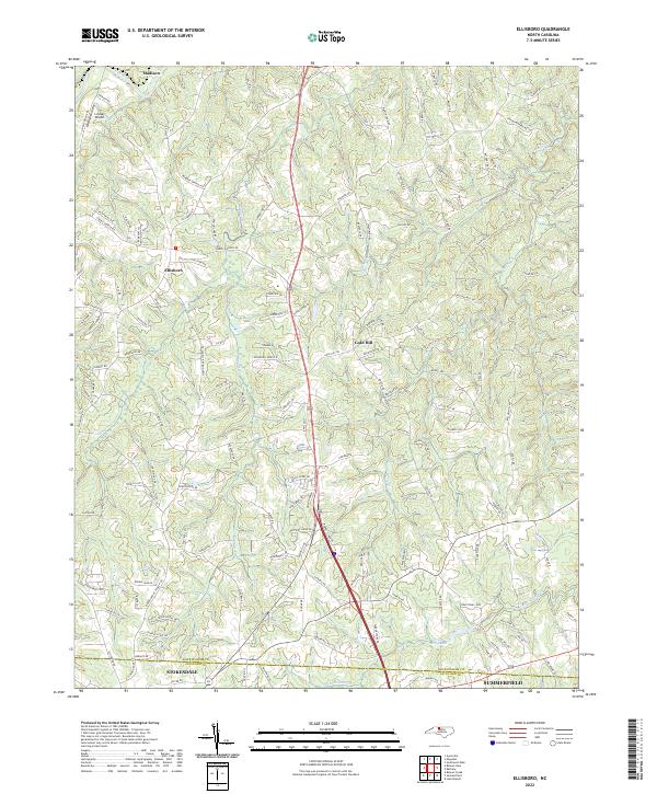
1971 Map of Ellisboro
USGS Topo · Published 1974About this map
Ellisboro and the surrounding rural communities of Rockingham County were documented in the early 1970s, showcasing a landscape defined by traditional agriculture and late-century modernizations. The Norfolk And Western railroad winds through the terrain, serving the northern reaches near the Dan River and Reed Creek. Local life is anchored by numerous small country parishes and meeting houses such as Ellisboro Ch, Sardis Ch, and The Little Country Ch, many situated alongside established family burial grounds like Woodland Cem.
Find a feature on this map
34 named features on this map. Tap any name to fly to it.
Don’t see what you’re looking for? This feature index may not catch every label — zoom into the map to look around manually.
Map Details
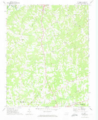
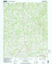
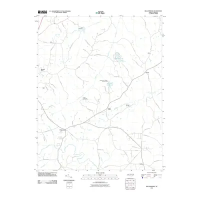
Editions of this 1971 Ellisboro Map
2 editions found
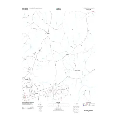
Historical Maps of Summerfield Through Time
54 maps found
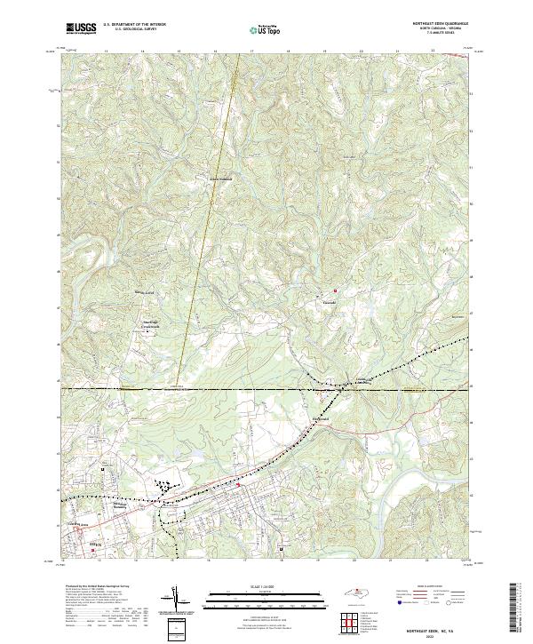
1965 Northeast Eden
Rockingham County, NC
1965 Northwest Eden
Rockingham County, NC
1967 Spencer
Rockingham County, NC
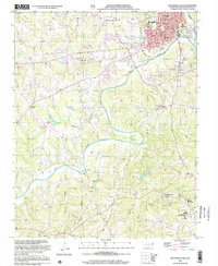
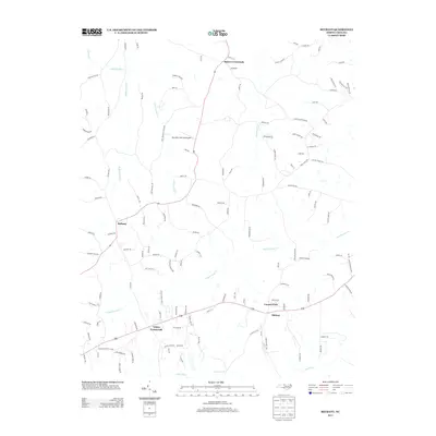
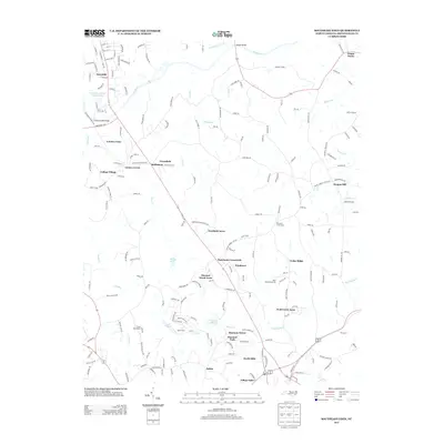
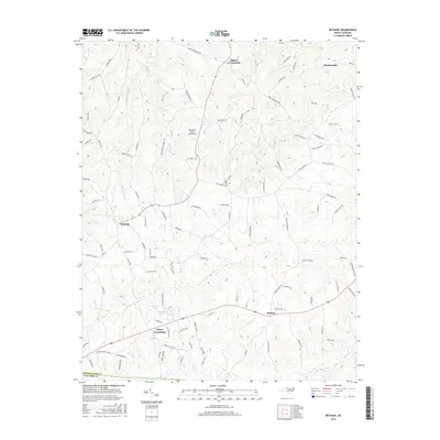
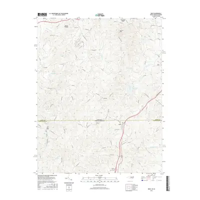
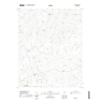
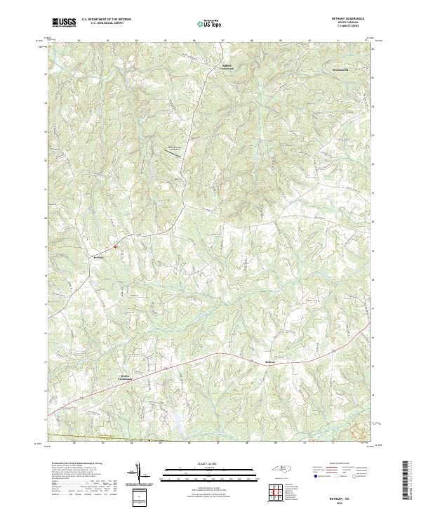
1971 Bethany
Rockingham County, NC
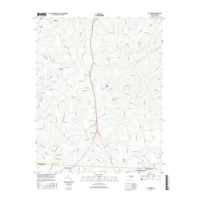
1971 Ellisboro
Rockingham County, NC
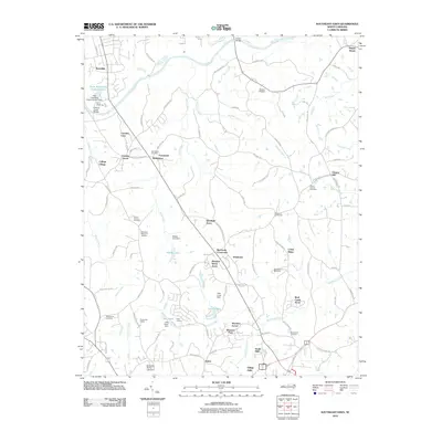
1971 Southeast Eden
Rockingham County, NC
1971 Southwest Eden
Rockingham County, NC

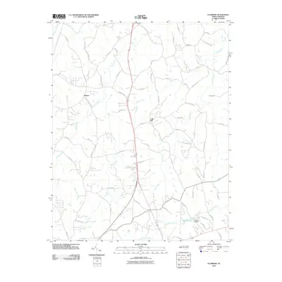
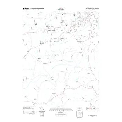
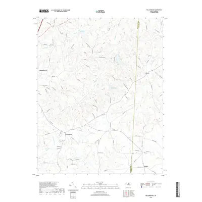
1972 Williamsburg
Rockingham County, NC
1977 Southeast Eden
Rockingham County, NC

1997 Bethany
Rockingham County, NC
1997 Ellisboro
Rockingham County, NC
1997 Northeast Eden
Rockingham County, NC
1997 Williamsburg
Rockingham County, NC
2002 Southwest Eden
Rockingham County, NC
2010 Bethany
Rockingham County, NC
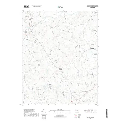
2010 Ellisboro
Rockingham County, NC
2010 Southeast Eden
Rockingham County, NC
2010 Southwest Eden
Rockingham County, NC
2010 Williamsburg
Rockingham County, NC
2011 Northeast Eden
Rockingham County, NC
2011 Northwest Eden
Rockingham County, NC
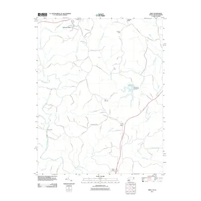
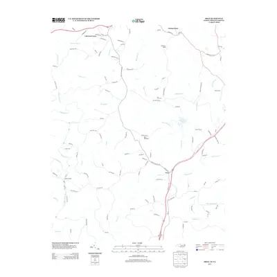
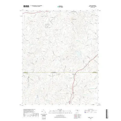
2011 Price
Rockingham County, NC
2013 Bethany
Rockingham County, NC
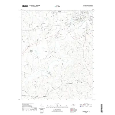
2013 Ellisboro
Rockingham County, NC
2013 Northeast Eden
Rockingham County, NC
2013 Northwest Eden
Rockingham County, NC
2013 Price
Rockingham County, NC
2013 Southeast Eden
Rockingham County, NC
2013 Southwest Eden
Rockingham County, NC
2013 Williamsburg
Rockingham County, NC
2016 Bethany
Rockingham County, NC
2016 Ellisboro
Rockingham County, NC
2016 Northeast Eden
Rockingham County, NC
2016 Northwest Eden
Rockingham County, NC
2016 Price
Rockingham County, NC
2016 Southeast Eden
Rockingham County, NC
2016 Southwest Eden
Rockingham County, NC
2016 Williamsburg
Rockingham County, NC
2019 Bethany
Rockingham County, NC
2019 Ellisboro
Rockingham County, NC
2019 Northeast Eden
Rockingham County, NC
2019 Northwest Eden
Rockingham County, NC
2019 Price
Rockingham County, NC
2019 Southeast Eden
Rockingham County, NC
2019 Southwest Eden
Rockingham County, NC
2019 Williamsburg
Rockingham County, NC
2022 Bethany
Rockingham County, NC
2022 Ellisboro
Rockingham County, NC
2022 Northeast Eden
Rockingham County, NC
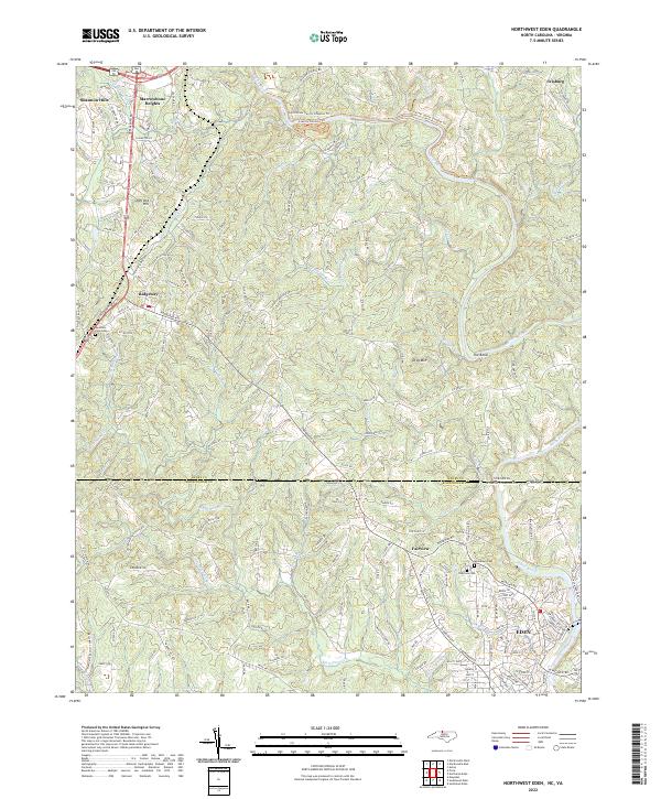
2022 Northwest Eden
Rockingham County, NC

2022 Price
Rockingham County, NC
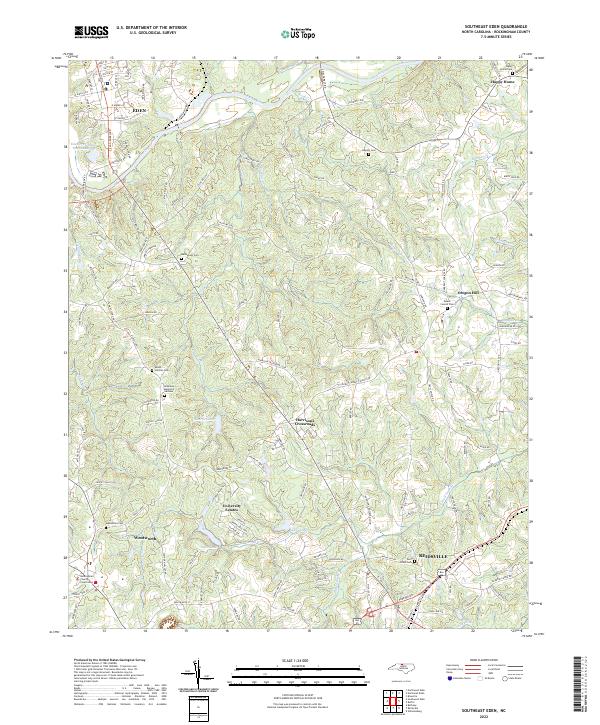
2022 Southeast Eden
Rockingham County, NC
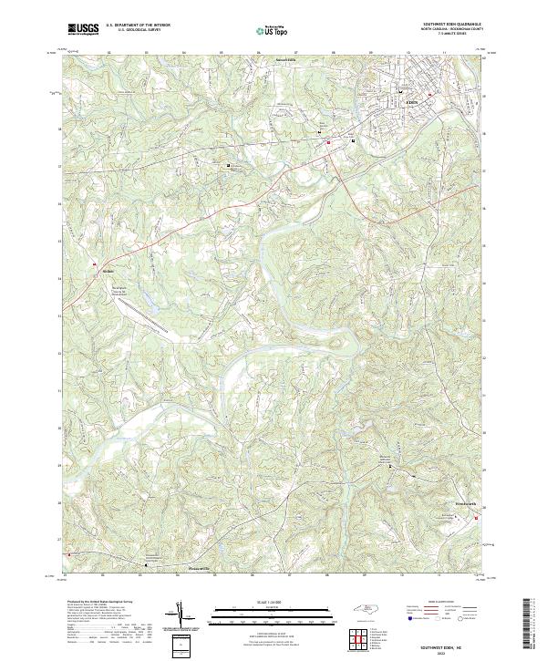
2022 Southwest Eden
Rockingham County, NC
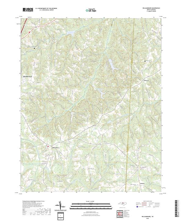
2022 Williamsburg
Rockingham County, NC