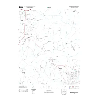
2013 Map of Northwest Eden
USGS Topo · Published 2013About this map
The Smith River forms a central geographical spine for this borderland between North Carolina and Virginia, where river-dependent landmarks like Egglestons Ford, Long Island Ford, and Break Reed Ford illustrate a history of early passage. The landscape is characterized by a series of residential developments and older settlements such as Ridgeway, Fairview, and Irisburg that grew along the region's transport corridors. Significant watercourses including Matrimony Cr, Marrowbone Cr, and Turkeycock Cr dissect the terrain, leading toward larger features like The Bend and the prominence of Drag Mountain. This area shows a transition from structured residential neighborhoods like Hamilton Hills and Sheffield Terrace to more rural stretches around Quesenbury and the shores of Dumaines Lake, reflecting the suburban expansion north of Eden.
Find a feature on this map
48 named features on this map. Tap any name to fly to it.
Don’t see what you’re looking for? This feature index may not catch every label — zoom into the map to look around manually.
Map Details
Editions of this 2013 Northwest Eden Map
This is the sole edition of this map. No revisions or reprints were ever made.
Other maps of this area

1924 · Martinsville
USGS Topo · 1:48,000

1924 · Draper
USGS Topo · 1:48,000

1926 · Martinsville
USGS Topo · 1:62,500

1926 · Draper
USGS Topo · 1:62,500

1927 · Martinsville
USGS Topo · 1:62,500

1944 · Martinsville
USGS Topo · 1:62,500

1944 · Draper
USGS Topo · 1:62,500

1953 · Greensboro
USGS Topo · 1:250,000

1954 · Greensboro
USGS Topo · 1:250,000

1962 · Greensboro
USGS Topo · 1:250,000