
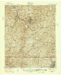
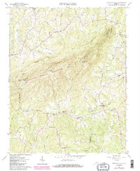
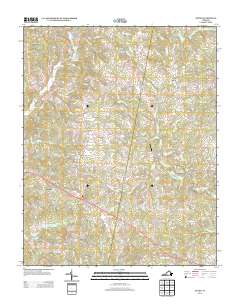
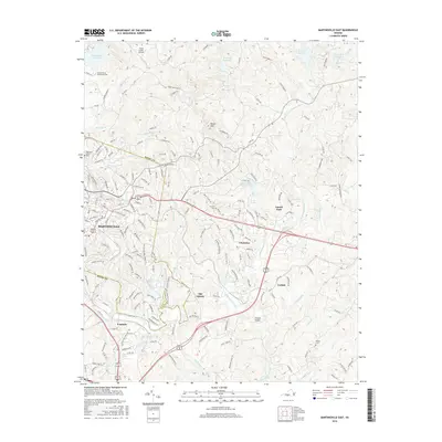
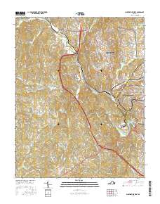
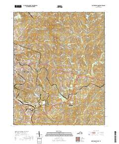
1944 Map of Martinsville
USGS Topo · Published 1944About this map
The Smith River winds through this 1944 survey of Henry County, Virginia, anchoring a landscape defined by small mill towns and tobacco farming. Martinsville serves as the regional hub, while the Danville and Western RR facilitates the movement of goods through settlements like Fieldale and Stanleytown. The map captures a transition in rural life, where local industry such as the Rough and Ready Mill and the Firestone plant coexist with traditional family-named landmarks and land holdings.
Find a feature on this map
78 named features on this map. Tap any name to fly to it.
Don’t see what you’re looking for? This feature index may not catch every label — zoom into the map to look around manually.
Map Details
Editions of this 1944 Martinsville Map
This is the sole edition of this map. No revisions or reprints were ever made.
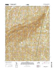
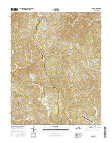
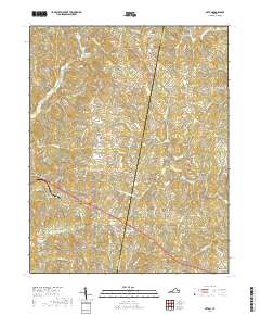
Historical Maps of Eden Through Time
34 maps found

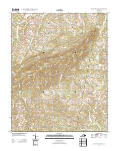
1924 Martinsville
Henry County, VA

1926 Martinsville
Henry County, VA
1927 Martinsville
Henry County, VA
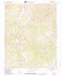
1944 Martinsville
Henry County, VA
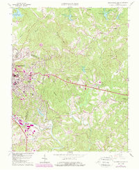
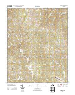
1964 Martinsville East
Henry County, VA
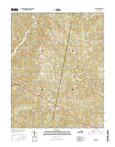
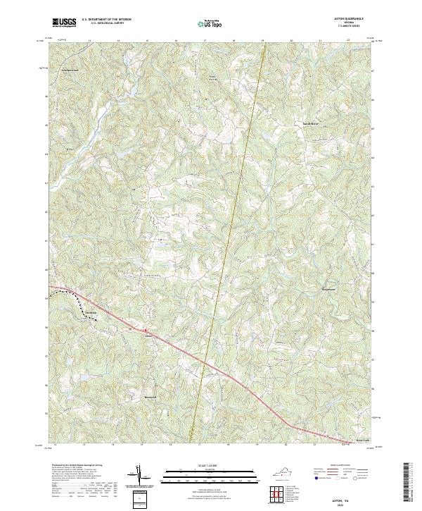
1965 Axton
Henry County, VA
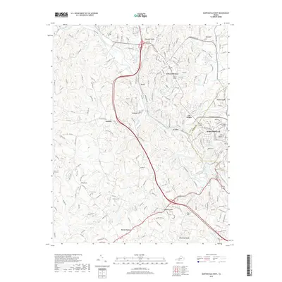
1965 Martinsville West
Henry County, VA
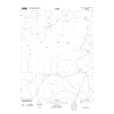
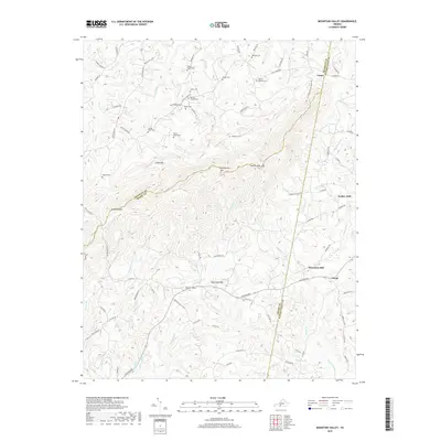
1965 Mountain Valley
Henry County, VA
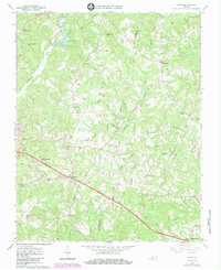
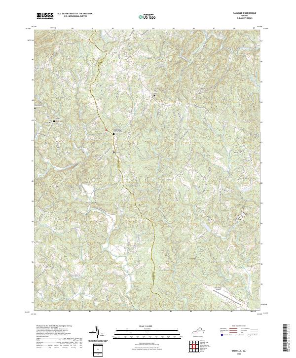
1967 Sanville
Henry County, VA

2010 Sanville
Henry County, VA

2011 Axton
Henry County, VA
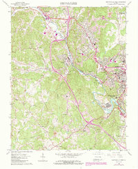
2011 Martinsville East
Henry County, VA
2011 Martinsville West
Henry County, VA
2011 Mountain Valley
Henry County, VA
2013 Axton
Henry County, VA
2013 Martinsville East
Henry County, VA
2013 Martinsville West
Henry County, VA
2013 Mountain Valley
Henry County, VA
2013 Sanville
Henry County, VA
2016 Axton
Henry County, VA
2016 Martinsville East
Henry County, VA
2016 Martinsville West
Henry County, VA
2016 Mountain Valley
Henry County, VA
2016 Sanville
Henry County, VA
2019 Axton
Henry County, VA
2019 Martinsville East
Henry County, VA
2019 Martinsville West
Henry County, VA
2019 Mountain Valley
Henry County, VA
2019 Sanville
Henry County, VA
2022 Axton
Henry County, VA
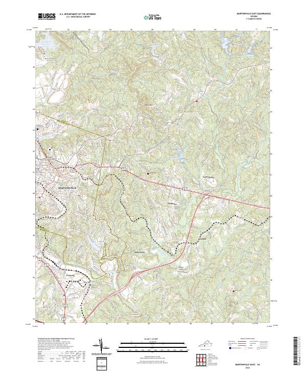
2022 Martinsville East
Henry County, VA
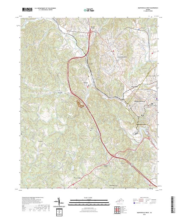
2022 Martinsville West
Henry County, VA
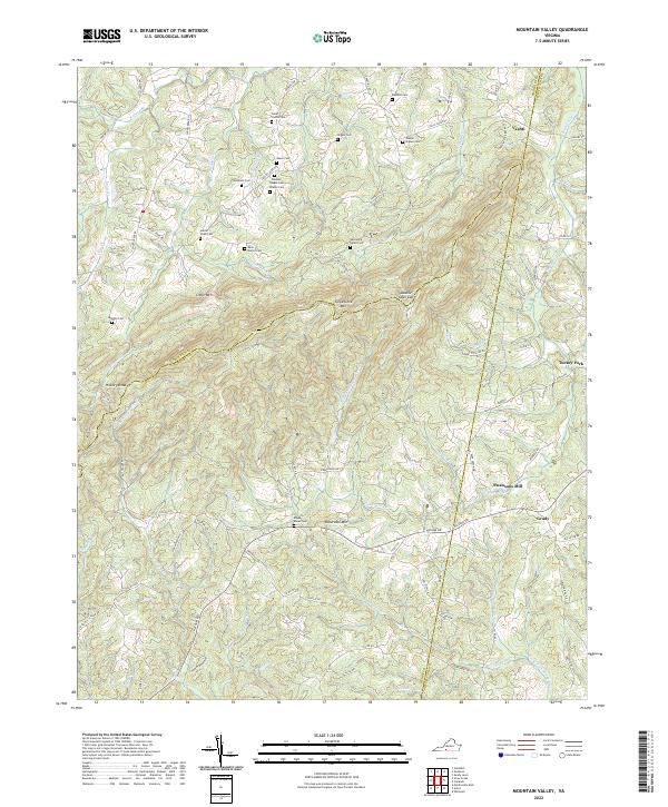
2022 Mountain Valley
Henry County, VA
2022 Sanville
Henry County, VA