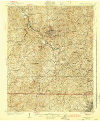
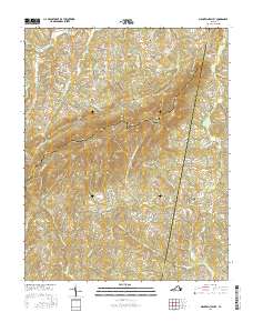
1927 Map of Martinsville
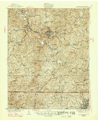
USGS Topo · Published 1942About this map
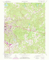
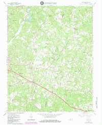
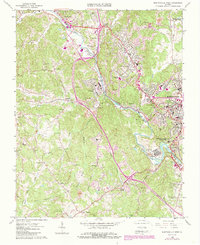
The Smith River meanders through the heart of Henry County, Virginia, anchoring a landscape defined by small mill settlements and a dense network of early 20th-century rural infrastructure. This 1920s survey depicts Martinsville as a burgeoning industrial center, supported by the Norfolk and Western Railway and the Danville and Western Railway. Local industry is evidenced by sites like the Rough and Ready Mill and the textile-based community of Fieldale.
Find a feature on this map
81 named features on this map. Tap any name to fly to it.
Don’t see what you’re looking for? This feature index may not catch every label — zoom into the map to look around manually.
Map Details
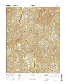
Editions of this 1927 Martinsville Map
2 editions found
Historical Maps of Eden Through Time
34 maps found

1924 Martinsville
Henry County, VA

1926 Martinsville
Henry County, VA
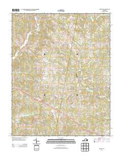
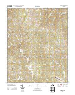
1927 Martinsville
Henry County, VA

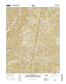
1944 Martinsville
Henry County, VA
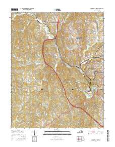
1964 Martinsville East
Henry County, VA
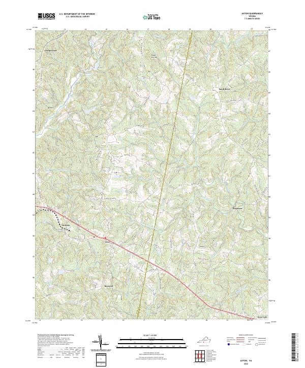
1965 Axton
Henry County, VA
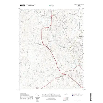
1965 Martinsville West
Henry County, VA
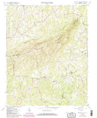
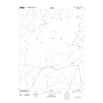
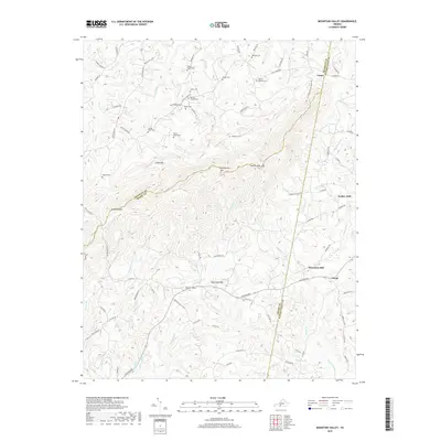
1965 Mountain Valley
Henry County, VA
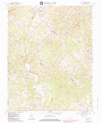
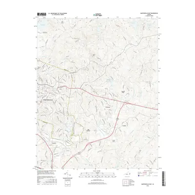
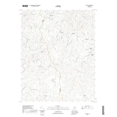
1967 Sanville
Henry County, VA

2010 Sanville
Henry County, VA

2011 Axton
Henry County, VA

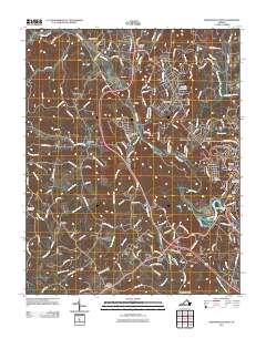
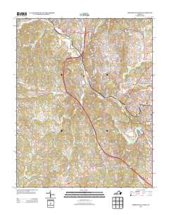
2011 Martinsville East
Henry County, VA
2011 Martinsville West
Henry County, VA
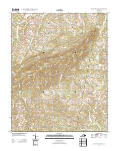
2011 Mountain Valley
Henry County, VA
2013 Axton
Henry County, VA

2013 Martinsville East
Henry County, VA
2013 Martinsville West
Henry County, VA
2013 Mountain Valley
Henry County, VA
2013 Sanville
Henry County, VA
2016 Axton
Henry County, VA
2016 Martinsville East
Henry County, VA
2016 Martinsville West
Henry County, VA
2016 Mountain Valley
Henry County, VA
2016 Sanville
Henry County, VA
2019 Axton
Henry County, VA
2019 Martinsville East
Henry County, VA
2019 Martinsville West
Henry County, VA
2019 Mountain Valley
Henry County, VA
2019 Sanville
Henry County, VA
2022 Axton
Henry County, VA
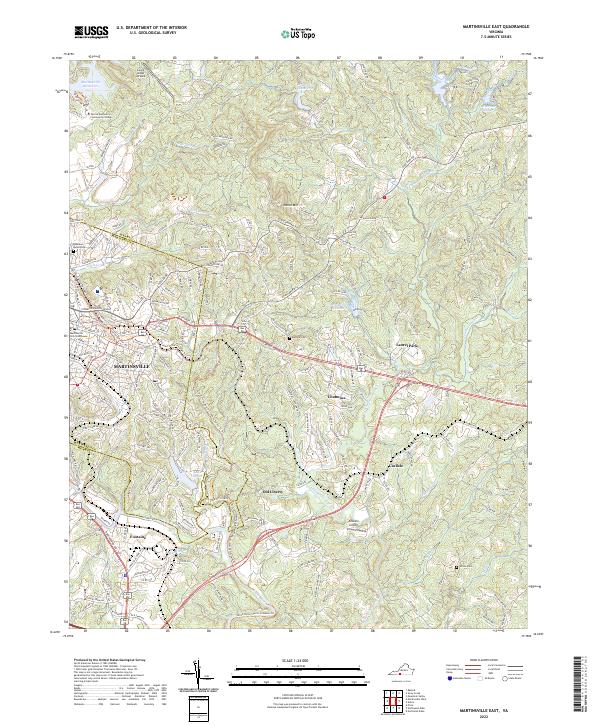
2022 Martinsville East
Henry County, VA
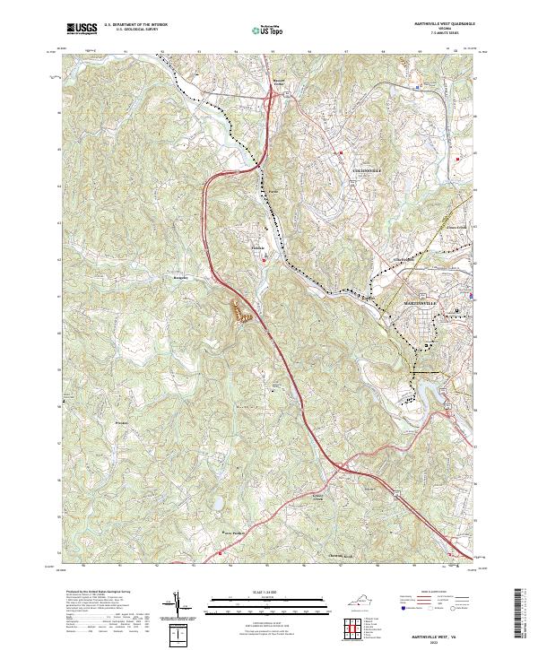
2022 Martinsville West
Henry County, VA
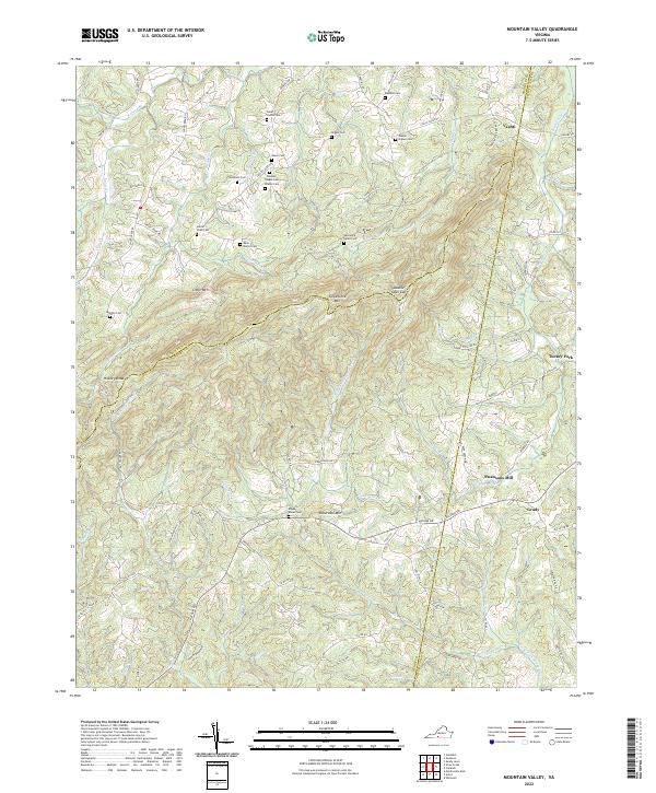
2022 Mountain Valley
Henry County, VA
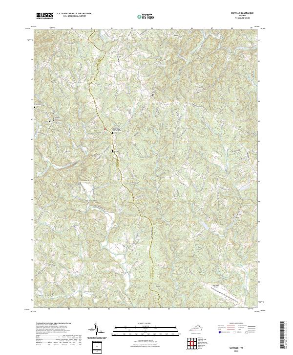
2022 Sanville
Henry County, VA