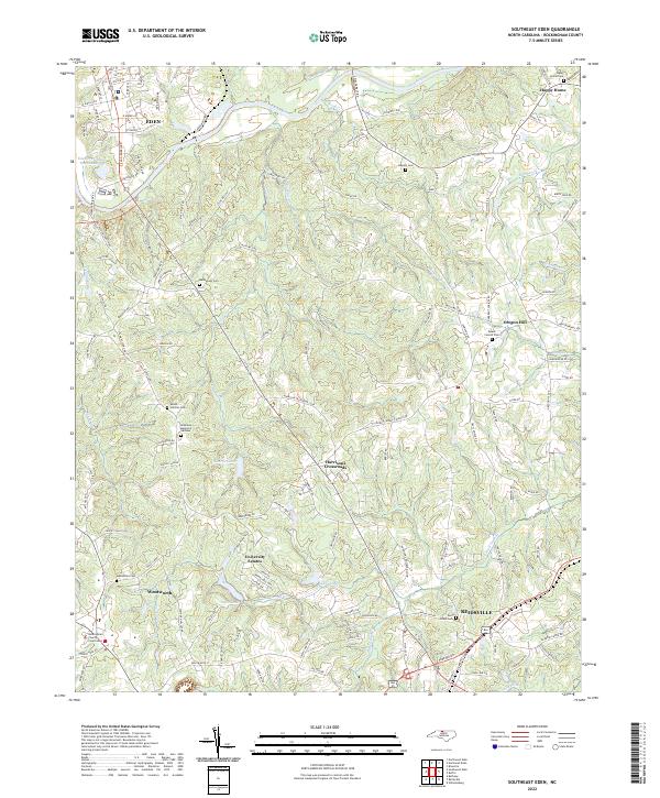
2022 Map of Southeast Eden
USGS Topo · Published 2022About this map
The Dan River curves across this section of Rockingham County, anchoring a landscape where the urban footprints of Eden and Reidsville meet the rural expanses of the Carolina Piedmont. Modern infrastructure and residential developments like University Estates sit alongside deep-rooted local history, evidenced by a dense network of family and community burial grounds including Bethlehem Cem, Slaydon Cem, and Mount Carmel Cem. The transition from the industrial character of the north to the civic center at Wentworth is marked by the Rockingham County Courthouse, illustrating the administrative heart of the region.
Find a feature on this map
135 named features on this map. Tap any name to fly to it.
Don’t see what you’re looking for? This feature index may not catch every label — zoom into the map to look around manually.
Map Details
Editions of this 2022 Southeast Eden Map
This is the sole edition of this map. No revisions or reprints were ever made.
Other maps of this area

1924 · Martinsville
USGS Topo · 1:48,000

1924 · Draper
USGS Topo · 1:48,000

1926 · Martinsville
USGS Topo · 1:62,500

1926 · Draper
USGS Topo · 1:62,500

1927 · Martinsville
USGS Topo · 1:62,500

1944 · Martinsville
USGS Topo · 1:62,500

1944 · Draper
USGS Topo · 1:62,500

1953 · Greensboro
USGS Topo · 1:250,000

1954 · Greensboro
USGS Topo · 1:250,000

1962 · Greensboro
USGS Topo · 1:250,000