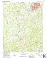
1971 Map of Southwest Eden
USGS Topo · Published 1994About this map
The Dan River meanders through this portion of Rockingham County, serving as the central geographic feature between the industrializing hub of Eden and the county seat at Wentworth. This 1971 survey, revised through 1994, documents a landscape transitioning from rural agricultural uses to more modern infrastructure, notably seen in the growth around Sunset Hills and the establishment of Rockingham Community College.
Find a feature on this map
42 named features on this map. Tap any name to fly to it.
Don’t see what you’re looking for? This feature index may not catch every label — zoom into the map to look around manually.
Map Details
Editions of this 1971 Southwest Eden Map
2 editions found
Other maps of this area

1924 · Martinsville
USGS Topo · 1:48,000

1924 · Draper
USGS Topo · 1:48,000

1926 · Martinsville
USGS Topo · 1:62,500

1926 · Draper
USGS Topo · 1:62,500

1927 · Martinsville
USGS Topo · 1:62,500

1944 · Martinsville
USGS Topo · 1:62,500

1944 · Draper
USGS Topo · 1:62,500

1953 · Greensboro
USGS Topo · 1:250,000

1954 · Greensboro
USGS Topo · 1:250,000

1962 · Greensboro
USGS Topo · 1:250,000