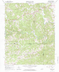
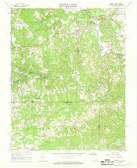
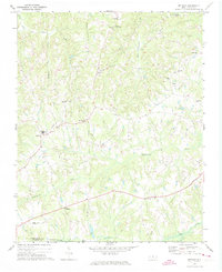
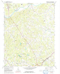
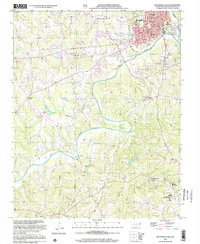
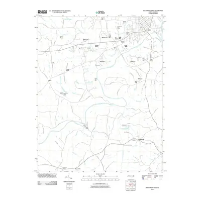
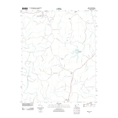
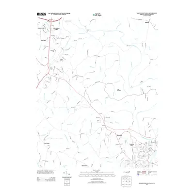
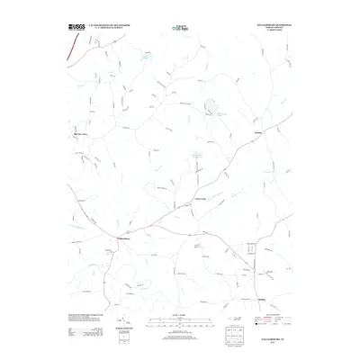
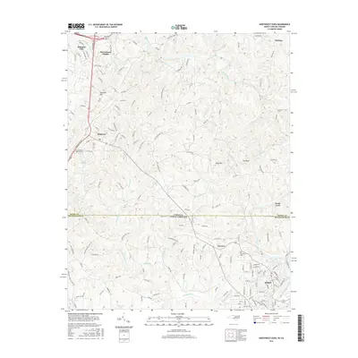
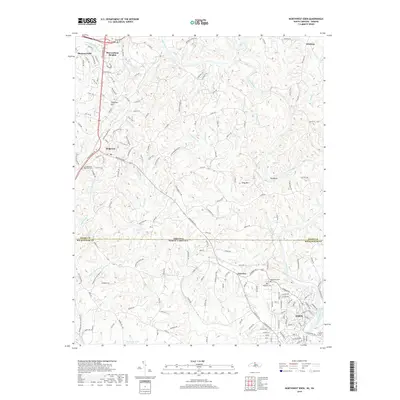
1967 Map of Spencer
USGS Topo · Published 1984About this map
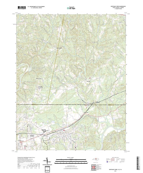
Spencer stands at the northern edge of this Piedmont landscape, where the North Mayo River and South Mayo River carve through the borderlands of Virginia and North Carolina. The settlement pattern is defined by rural crossroads and small community hubs like Penns Store, Trent Store, and Amostown. This 1967 field-checked survey captures the area before modern expansion, highlighting a network of country churches such as Red Hollow Ch and Spoon Creek Ch that served as the social anchors for scattered family farms. Notable landmarks like the Spencer-Penn Sch and Sheppards Mill suggest a local economy transitioning from traditional milling toward more centralized community services. The terrain is deeply etched by a dense drainage system including Buffalo Creek, Little Mill Creek, and Spoon Creek, illustrating the complex topography that historically dictated road placement and land use across these county lines.
Find a feature on this map
38 named features on this map. Tap any name to fly to it.
Don’t see what you’re looking for? This feature index may not catch every label — zoom into the map to look around manually.
Map Details
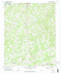
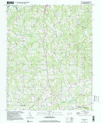
Editions of this 1967 Spencer Map
2 editions found
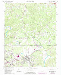
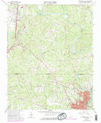
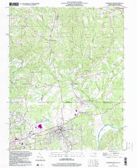
Historical Maps of Sheppards Mill Through Time
54 maps found
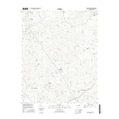
1965 Northeast Eden
Rockingham County, NC
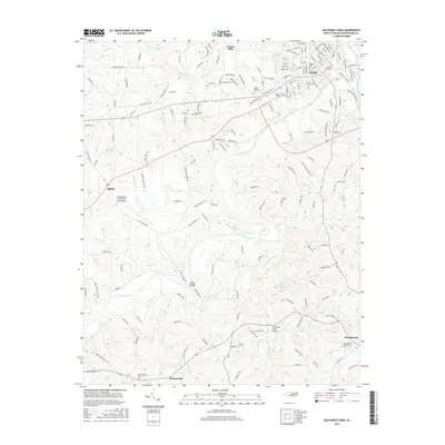
1965 Northwest Eden
Rockingham County, NC
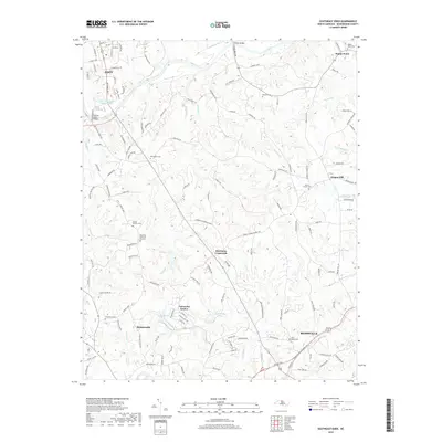
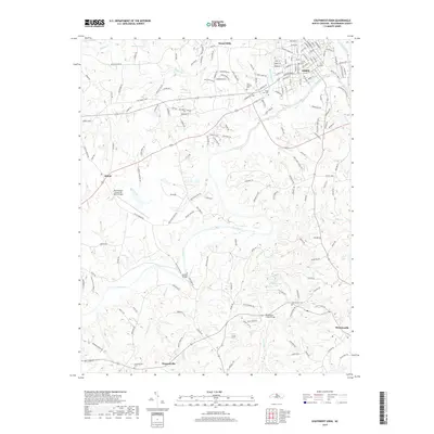
1967 Spencer
Rockingham County, NC
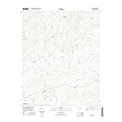
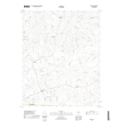
1971 Bethany
Rockingham County, NC
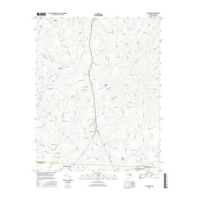
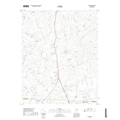
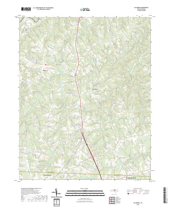
1971 Ellisboro
Rockingham County, NC
1971 Southeast Eden
Rockingham County, NC
1971 Southwest Eden
Rockingham County, NC

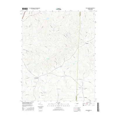
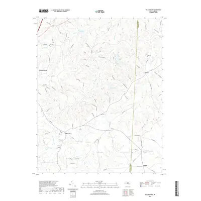
1972 Williamsburg
Rockingham County, NC
1977 Southeast Eden
Rockingham County, NC

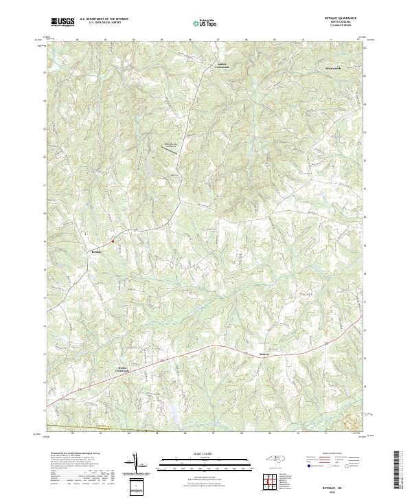
1997 Bethany
Rockingham County, NC
1997 Ellisboro
Rockingham County, NC
1997 Northeast Eden
Rockingham County, NC
1997 Williamsburg
Rockingham County, NC
2002 Southwest Eden
Rockingham County, NC
2010 Bethany
Rockingham County, NC
2010 Ellisboro
Rockingham County, NC
2010 Southeast Eden
Rockingham County, NC
2010 Southwest Eden
Rockingham County, NC
2010 Williamsburg
Rockingham County, NC
2011 Northeast Eden
Rockingham County, NC
2011 Northwest Eden
Rockingham County, NC
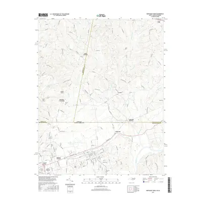
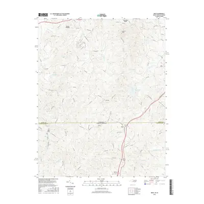
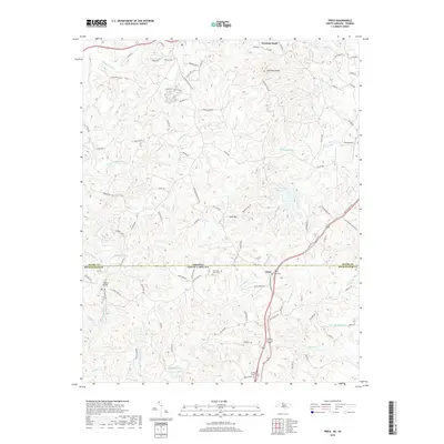
2011 Price
Rockingham County, NC
2013 Bethany
Rockingham County, NC
2013 Ellisboro
Rockingham County, NC
2013 Northeast Eden
Rockingham County, NC
2013 Northwest Eden
Rockingham County, NC
2013 Price
Rockingham County, NC
2013 Southeast Eden
Rockingham County, NC
2013 Southwest Eden
Rockingham County, NC
2013 Williamsburg
Rockingham County, NC
2016 Bethany
Rockingham County, NC
2016 Ellisboro
Rockingham County, NC
2016 Northeast Eden
Rockingham County, NC
2016 Northwest Eden
Rockingham County, NC
2016 Price
Rockingham County, NC
2016 Southeast Eden
Rockingham County, NC
2016 Southwest Eden
Rockingham County, NC
2016 Williamsburg
Rockingham County, NC
2019 Bethany
Rockingham County, NC
2019 Ellisboro
Rockingham County, NC
2019 Northeast Eden
Rockingham County, NC
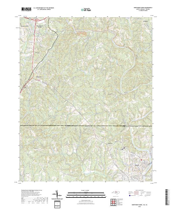
2019 Northwest Eden
Rockingham County, NC
2019 Price
Rockingham County, NC
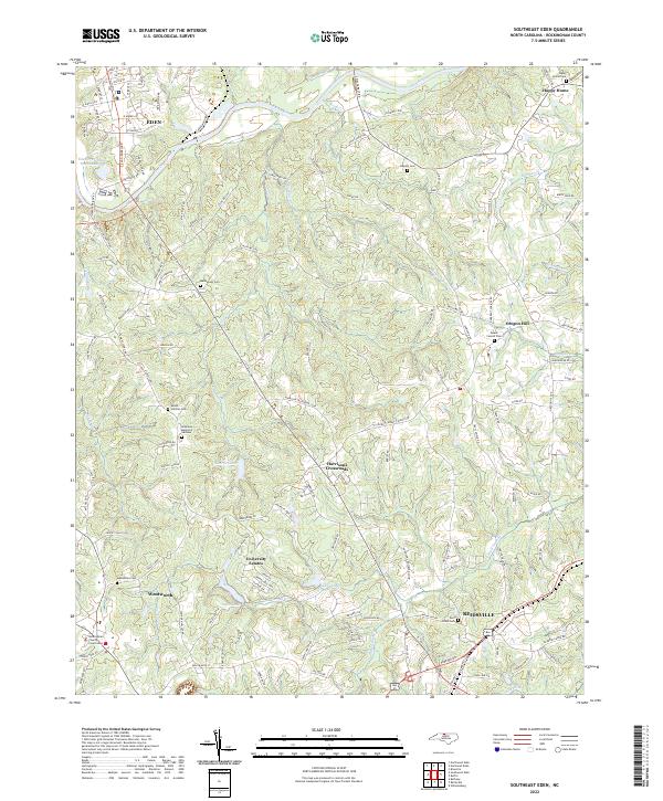
2019 Southeast Eden
Rockingham County, NC
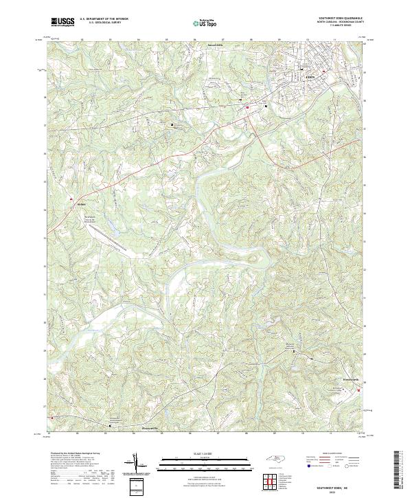
2019 Southwest Eden
Rockingham County, NC
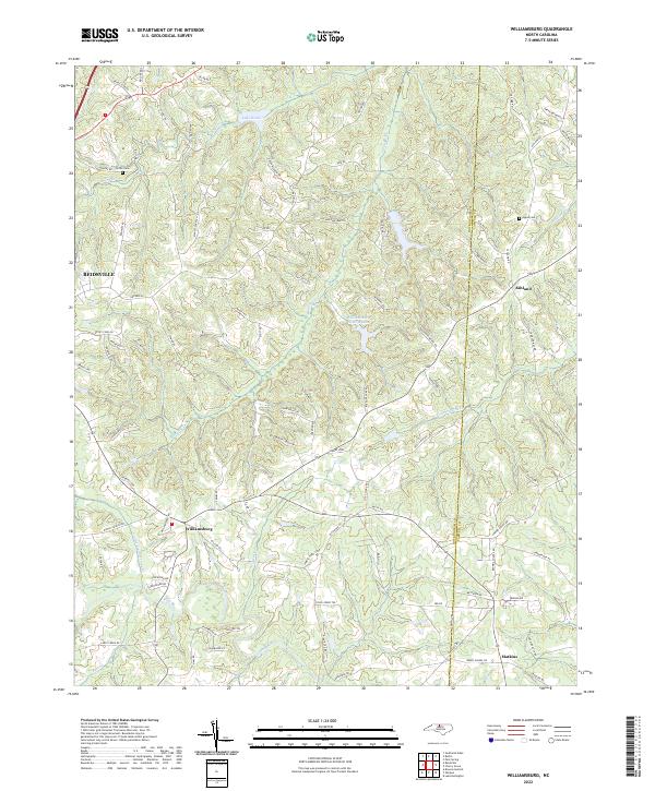
2019 Williamsburg
Rockingham County, NC
2022 Bethany
Rockingham County, NC
2022 Ellisboro
Rockingham County, NC
2022 Northeast Eden
Rockingham County, NC
2022 Northwest Eden
Rockingham County, NC

2022 Price
Rockingham County, NC
2022 Southeast Eden
Rockingham County, NC
2022 Southwest Eden
Rockingham County, NC
2022 Williamsburg
Rockingham County, NC