Old Maps of Patrick County, Virginia
Explore 107 old maps of Patrick County, spanning from 1889 to today. These high-resolution historic maps reveal how streets, neighborhoods, landmarks, and natural features evolved over time — perfect for genealogy, metal detecting, research, and local history exploration.
What you can do with these maps:
- See how Patrick County changed over time: Compare historical maps to modern-day views to trace roads, homesites, rail lines & more.
- View detailed metadata: Each map includes creators, publishers, year, scale, and archive source.
- Overlay maps with satellite & LiDAR: Visualize the past alongside modern tools to explore terrain & human change.
- Trusted historical sources: Maps sourced from the USGS, Library of Congress, and other archives.
- Access maps your way: View online, download high-res files, or order prints for personal or research use.
Start exploring old maps of Patrick County to uncover forgotten places, hidden landmarks, and the deep history beneath your feet.
Patrick County, VA maps
(107)- 1889 Map of Hillsville
 1889 Hillsville1889 Print · USGSThe Blue Ridge Highlands and the upper New River valley are captured in the late 1880s, showcasing a landscape of iron furnaces and mountain gaps. Trace early industrial sites like Boom Furnace and Lead Mines, or locate ancestral homesteads near Hillsville and Old Town.
 - 1892 Map of Hillsville
 1892 Hillsville1892 Print · USGSSouthwest Virginia in the late nineteenth century is captured here as a landscape of iron furnaces and river crossings. Genealogists and historians can trace old family mills and ferries like Pedegos Mill, Howards Ferry, and the early settlement at Old Town.
 - 1896 Map of Hillsville
 1896 Hillsville1896 Print · USGSThe Blue Ridge Highlands and New River corridor appear here in the 1890s, when iron furnaces and river ferries dictated the pace of local life. Researchers can trace ancestral locations near Hillsville, the Lead Mines, and historic river crossings like Jackson Ferry.7 unique versions available
 - 1926 Map of Critz
 1926 Critz1926 Print · USGSAcross the Virginia and North Carolina border in the mid-twenties, this mountain landscape reveals a self-sufficient network of mill seats and rural post offices. Researchers can trace family ties through dozens of landmarks like Blue Mountain School, Kogers Mill, and Patrick Springs Station.2 unique versions available
 - 1928 Map of Stuart
 1928 Stuart1928 Print · USGSThe Blue Ridge foothills of the late twenties are captured here as a network of mountain settlements and river-powered industry. Genealogists can trace family roots through numerous country landmarks like Greaseys Chapel, Stonewall Jackson School, and Carters Mill.2 unique versions available
 - 1928 Map of Critz
 1928 Critz1928 Print · USGSPatrick and Henry Counties appear here in the late twenties, showing a transition from the Blue Ridge heights to a valley economy defined by the Danville and Western rail line. Genealogists can trace early homesteads and community hubs like Penns Store, Patrick Springs Station, and Smith Chapel.3 unique versions available
 - 1931 Map of Stuart
 1931 Stuart1931 Print · USGSThe Blue Ridge plateau meets the Piedmont in the late 1920s, showing a landscape of mountain farming and river-driven milling. Genealogists can trace family roots through numerous local landmarks like Meadows of Dan, Stonewall Jackson Sch, and Three Forks Mill.3 unique versions available
 - 1953 Map of Winston-Salem, 1974 Print
 1953 Winston-Salem1974 Print · USGSThe North Carolina Piedmont and Virginia highlands meet in the mid-1950s, a landscape defined by the tobacco and textile hubs of the Blue Ridge foothills. Researchers can trace the rail-and-river geography connecting Winston-Salem to mountain towns like Mount Airy and Galax.2 unique versions available
 - 1955 Map of Winston-Salem
 1955 Winston-Salem1955 Print · USGSThe Central Blue Ridge and Piedmont transition are captured here in the mid-fifties, from the industrial hub of Winston-Salem to the high peaks of Southwest Virginia. Genealogists can trace family landmarks like Richmond Hill Ch, Siloam Ch, and the old rail stops along the Southern Railway.
 - 1957 Map of Mount Airy, 1959 Print
 1957 Mount Airy1959 Print · USGSThe foothills and ridges of the Blue Ridge border in the late fifties show a landscape of mountain hamlets and growing textile-era towns. Genealogists can trace family landmarks like Webb Ch, Bobbitt Knob, and rural schools from Sunnyside Sch to Elk Spur Sch.2 unique versions available
 - 1957 Map of Endicott, 1959 Print
 1957 Endicott1959 Print · USGSFranklin and Patrick counties are captured in the late fifties as the new waters of Philpott Reservoir settle into the landscape. Trace generational landmarks like Ferrum Jr College, the County Farm, and Woods Store across the Blue Ridge foothills.2 unique versions available
 - 1957 Map of Floyd, 1959 Print
 1957 Floyd1959 Print · USGSFloyd and the surrounding Blue Ridge highlands are captured here in the late fifties as the Blue Ridge Parkway integrated with local backroads. Researchers can locate family landmarks like Mabry Mill, Shelors Mill, and numerous country churches including Dillons Chapel.
 - 1962 Map of Winston-Salem
 1962 Winston-Salem1962 Print · USGSThe North Carolina Piedmont meets the Virginia highlands in the early sixties, showing the rail corridors and mountain gaps of the southern Appalachians. Researchers can trace the Blue Ridge Parkway or locate family sites near Winston-Salem, Mount Airy, and Hanging Rock Mountain.
 - 1967 Map of Patrick Springs, 1968 Print
 1967 Patrick Springs1968 Print · USGSPatrick Springs and the surrounding Piedmont foothills are captured here in the late sixties as the rural landscape balanced traditional industry and modern growth. Genealogists and local historians can locate Buffalo Ridge Ch, Reynolds Mill, and the Hardin Reynolds Memorial Sch.2 unique versions available
 - 1967 Map of Spencer, 1968 Print
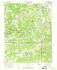 1967 Spencer1968 Print · USGSThe Virginia and North Carolina state line runs through this rural landscape in the late sixties, centered on the winding Mayo River forks. Genealogists and local historians can locate community landmarks like Penns Store, Sheppards Mill, and the Spencer-Penn Sch.2 unique versions available
 - 1967 Map of Nettleridge, 1968 Print
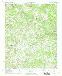 1967 Nettleridge1968 Print · USGSThe Virginia and North Carolina borderlands come into focus in the late sixties, showing a landscape of rural general stores and country churches. Genealogists can trace family roots through landmarks like Moorefield Store, Tatum Macedonia Ch, and Coleville.3 unique versions available
 - 1967 Map of Philpott Reservoir, 1969 Print
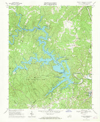 1967 Philpott Reservoir1969 Print · USGSThe foothills of the Blue Ridge in the late 1960s are defined by the winding shoreline of Philpott Reservoir and the developing Fairy Stone State Park. Trace family roots in rural settlements like Dodson and Philpott, or locate industrial landmarks in Bassett near the Norfolk and Western line.3 unique versions available
 - 1967 Map of Sanville, 1969 Print
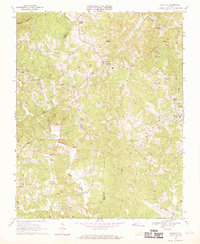 1967 Sanville1969 Print · USGSThe foothills of the Blue Ridge in the late sixties reveal a landscape of tight-knit rural communities along the Patrick and Henry County line. Genealogists can trace family names through numerous landmarks like Stones Store, Stella, and Old Center Ch.2 unique versions available
 - 1967 Map of Charity, 1970 Print
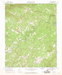 1967 Charity1970 Print · USGSPatrick County's rural landscape is captured here in the mid-1960s as the hills meet the waters of the Smith River. Researchers can locate numerous country churches and cemeteries near Charity, Elamsville, and the historic Covered Bridge Smith River Ch.2 unique versions available
 - 1967 Map of Stuart, 1971 Print
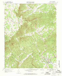 1967 Stuart1971 Print · USGSThe foothills of Patrick County come alive in the late sixties, showcasing the area's transition from the high ridges of the Blue Ridge Parkway to the river valleys below. Genealogists and historians can locate family cemeteries and landmarks like Bouldin Memorial Ch, Lovers Leap, and Stuart High Sch.2 unique versions available
 - 1968 Map of Stuart SE, 1970 Print
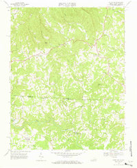 1968 Stuart SE1970 Print · USGSPatrick County and the North Carolina borderlands are captured in the late sixties, showing a landscape of river-bottom mills and highland chapels. Genealogists can trace family names through landmarks like Jessup Mill, Francisco, and Creaseys Chapel.3 unique versions available
 - 1968 Map of Claudville, 1971 Print
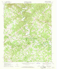 1968 Claudville1971 Print · USGSThe Virginia-North Carolina borderlands near Patrick County are captured here in the late sixties, showing a landscape defined by the winding Dan River. Genealogists can trace family landmarks like Hatcher Cem, Joyce Mill, and Carters Mill.3 unique versions available
 - 1968 Map of Meadows of Dan, 1971 Print
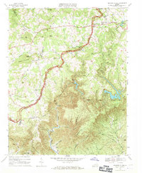 1968 Meadows of Dan1971 Print · USGSThe Blue Ridge highlands at the end of the 1960s reveal a mix of early industry and modern infrastructure. Genealogists and historians can trace family roots through sites like Mabry Mill, New Bell Spur Ch, and the high-elevation Meadows of Dan.3 unique versions available
 - 1968 Map of Cana, 1971 Print
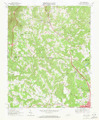 1968 Cana1971 Print · USGSThe Virginia and North Carolina borderlands come alive in this late-sixties survey of the Piedmont foothills. Researchers can trace numerous family-named landmarks and rural institutions, from Mt View Ch and Sandy Ridge School to the communities of Cana and Toast.3 unique versions available
 - 1968 Map of Mount Airy North, 1971 Print
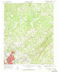 1968 Mount Airy North1971 Print · USGSThe foothills of the Blue Ridge along the Virginia and North Carolina border come into focus in this late 1960s survey. Genealogists can trace family roots through numerous mountain congregations like Ararat Ch, Willis Gap Ch, and Hunter Chapel.3 unique versions available
Showing maps 1-25 of 107
Top cities of Patrick County
Frequently asked questions
- What are the different types of historical maps available for Patrick County?
- What is the oldest map of Patrick County?
- Where can I purchase historical maps of Patrick County for my home or office?
- Where can I download high-res historical maps of Patrick County?
- Are there historical topographic maps available for Patrick County?
- Is there historical aerial imagery available for Patrick County?
- Where are historical maps of Patrick County sourced from?