2000s (21st Century) Maps of Patrick County, Virginia
Explore 75 historic maps of Patrick County from the 2000s (21st Century). These maps offer a rare glimpse into what life looked like during the 2000s — showing old roads, neighborhoods, homes, and landmarks that have changed or disappeared over time.
Whether you're researching your family's past, planning a metal detecting trip, or studying how Patrick County's landscape evolved across the 2000s, these high-resolution maps are a powerful tool for exploring the history of this region.
- Focus on a specific era: All maps on this page are from the 2000s, giving you a focused view of this time period.
- See what’s changed: Compare century-old streets, trails, and buildings to today's modern landscape using overlays and satellite layers.
- Research with precision: Use these maps for genealogy, historical research, land use analysis, or educational projects.
- View, download, or print: Maps are fully viewable online in high resolution, and can be downloaded or printed for your own records.
Start exploring Patrick County's history through authentic maps from the 2000s. This is your window into the past.
Patrick County, VA maps
(75)- 2010 Map of Claudville, 2010 Print
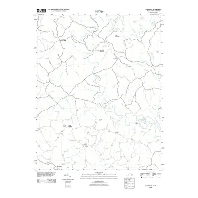 2010 Claudville2010 Print · USGSThe Virginia and North Carolina borderlands come into focus in 2010, showing a landscape defined by the winding Dan River and rural crossroads. Genealogists can trace family roots through numerous burial sites like Hatcher Cemetery and Albion Cemetery, or locate historical industrial sites such as Joyce Mill.
 - 2010 Map of Charity, 2010 Print
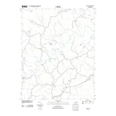 2010 Charity2010 Print · USGSIn the southern Virginia foothills during the early twenty-first century, this landscape remains defined by its winding waterways and deep-rooted family settlements. Genealogists and local historians can trace numerous family burial sites like Whorley Cemetery and visit landmarks such as the Bob White Covered Bridge.
 - 2010 Map of Woolwine, 2010 Print
 2010 Woolwine2010 Print · USGSThe Patrick County highlands near Woolwine are captured here in the early twenty-first century, showing a landscape defined by the Blue Ridge crest. You can trace local landmarks like Jack's Creek Covered Bridge, Rakes Millpond, and several historic cemeteries.
 - 2010 Map of Patrick Springs, 2010 Print
 2010 Patrick Springs2010 Print · USGSPatrick County at the start of the 2010s shows a landscape of mountain ridges and valley settlements. Researchers can trace family sites at Liberty Cemetery, locate the old Reynolds Mill, and follow the rural roads around Patrick Springs.
 - 2010 Map of Spencer, 2010 Print
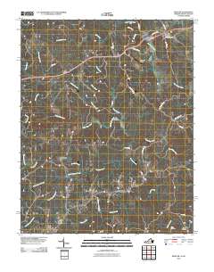 2010 Spencer2010 Print · USGSTracing the borderlands of North Carolina and Virginia in the modern era, this map highlights the river-bound communities of the Piedmont. Genealogists and historians can locate family burial sites at Harris Cemetery or trace the area around Sheppards Mill and Amostown.
 - 2010 Map of Sanville, 2010 Print
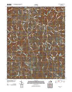 2010 Sanville2010 Print · USGSHenry County, Virginia, is documented here in the early twenty-first century as a landscape of small river settlements and upland peaks. Family historians can trace local roots through Old Center Cemetery, Stones Store, and the historic site of Kogers Mill along the Mayo River.
 - 2010 Map of Stuart SE, 2010 Print
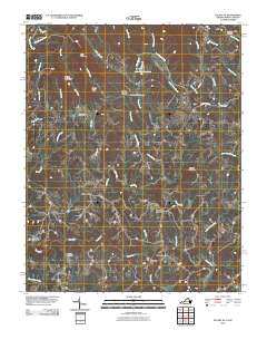 2010 Stuart SE2010 Print · USGSThe Virginia and North Carolina borderlands come into focus in 2010, showing a landscape of river-powered industry and mountain settlements. Genealogists can trace family names at Beasley Cemetery or locate landmarks like Jessup Mill and Harts Store.
 - 2010 Map of Nettleridge, 2010 Print
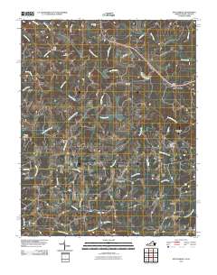 2010 Nettleridge2010 Print · USGSThe Virginia and North Carolina borderlands come into focus in 2010, showing the rural communities along the South Mayo River. Genealogists and historians can trace family locations near Nettle Ridge Cemetery or the historic Gilbert Mill.
 - 2010 Map of Willis, 2010 Print
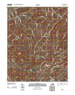 2010 Willis2010 Print · USGSThe Floyd County highlands are captured here in the early twenty-first century as the Blue Ridge Pkwy traverses the ridgelines. Local historians can locate landmarks like the iconic Mabry Mill, the remote Shelor Cemetery, and the high peak of Buffalo Mountain.
 - 2010 Map of Laurel Fork, 2010 Print
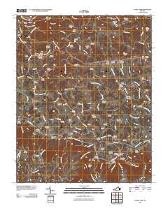 2010 Laurel Fork2010 Print · USGSCarroll County’s highland communities and family burial grounds are meticulously preserved in this study of the Blue Ridge front. Genealogists and historians can trace lineage across dozens of sites like the Groundhog Hill Cemetery and Strock Chapel Cemetery near Laurel Fork.
 - 2010 Map of Mount Airy North, 2010 Print
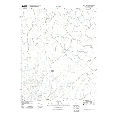 2010 Mount Airy North2010 Print · USGSSurry County communities north of the city center appear at the start of the decade, showing the transition from industry to mountain foothills. Researchers can trace family history through numerous rural burial sites like Gods Acre Cemetery and locate the expansive Flat Rock Quarry.
 - 2010 Map of Cana, 2010 Print
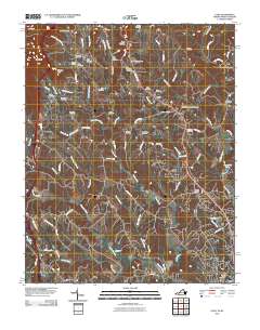 2010 Cana2010 Print · USGSThe foothills of the Blue Ridge along the Virginia-North Carolina border are captured here at a time of quiet rural persistence. Genealogists can trace family footprints through dozens of burial grounds including Flower Gap Cemetery, Saint Paul Cemetery, and the community of Cana.
 - 2010 Map of Stuart, 2010 Print
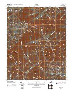 2010 Stuart2010 Print · USGSThe foothills of the Blue Ridge come into focus in 2010, centered on the historic town of Stuart. Researchers can trace old family sites and burial grounds near Cruzes Store, Mayo Mountain Cemetery, and the high peak at Lovers Leap.
 - 2011 Map of Philpott Lake, 2011 Print
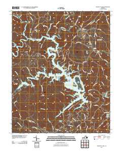 2011 Philpott Lake2011 Print · USGSHenry County’s winding shoreline and family homesteader history are on full display in this modern survey of the Smith River valley. Researchers can trace ancestral roots through dozens of family burial sites like Prilliman Cemetery and landmarks such as Union Church Bridge.
 - 2011 Map of Meadows of Dan, 2011 Print
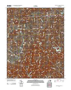 2011 Meadows of Dan2011 Print · USGSThe Blue Ridge highlands meet the upper Dan River in this 2011 survey of Patrick County. Local historians can trace a significant network of family burial sites including the Reed Island Springs Cemetery and visit historic landmarks like Mabry Mill.
 - 2013 Map of Mount Airy North, 2013 Print
 2013 Mount Airy North2013 Print · USGSThe North Carolina and Virginia borderlands come into focus in the early 2010s as the suburbs and rural reaches north of Mount Airy continue to evolve. Genealogists and local historians can trace the roads and waterways connecting Sulphur Springs, Flat Rock, and Ararat.
 - 2013 Map of Patrick Springs, 2013 Print
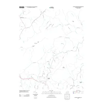 2013 Patrick Springs2013 Print · USGSPatrick County in the early 2010s remains a landscape of prominent peaks and winding river valleys. Genealogists and local historians can trace the rural communities of Patrick Springs, Critz, and Buffalo Ridge alongside landmarks like Reynolds Mill.
 - 2013 Map of Claudville, 2013 Print
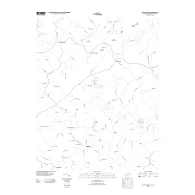 2013 Claudville2013 Print · USGSModern rural life in the Blue Ridge foothills is captured here as the region borders North Carolina. Genealogists and local historians can trace the roads and waterways connecting Claudville and Asbury to old sites like Carters Mill and Circle R Farm.
 - 2013 Map of Woolwine, 2013 Print
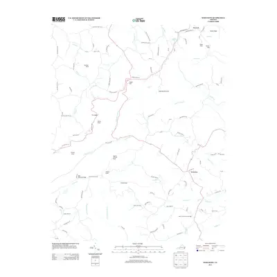 2013 Woolwine2013 Print · USGSWoolwine and the surrounding Patrick County highlands are shown here in the early twenty-first century, before many rural changes took hold. Researchers can trace family sites near New Brammer Ridge, visit Jack's Creek Covered Bridge, or locate the waters of Rakes Millpond and Toggle Gap.
 - 2013 Map of Nettleridge, 2013 Print
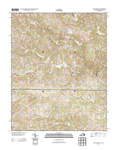 2013 Nettleridge2013 Print · USGSThe borderlands of Virginia and North Carolina are captured here in the early twenty-first century, centered on the S Mayo River. Genealogists and local historians can trace the geography around Gilbert Mill, Moorefield Store, and the community of Nettleridge.
 - 2013 Map of Meadows of Dan, 2013 Print
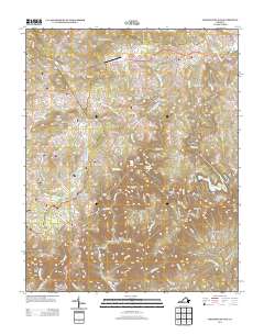 2013 Meadows of Dan2013 Print · USGSPatrick County's high country is captured here during the early twenty-first century, showing the dramatic transition from mountain plateaus to deep river gorges. Local historians can locate the Cockram Mill, trace the Blue Ridge Pkwy, and explore the rugged Pinnacles of Dan.
 - 2013 Map of Stuart SE, 2013 Print
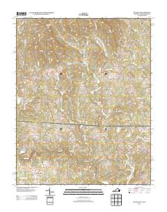 2013 Stuart SE2013 Print · USGSThe Virginia and North Carolina borderlands come to life in this recent topographic study of the Upper Dan River valley. Genealogists and local historians can trace the roads and waterways connecting Collinstown, Aarons Corner, and Harts Store across this rural landscape.
 - 2013 Map of Spencer, 2013 Print
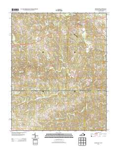 2013 Spencer2013 Print · USGSThe Virginia and North Carolina borderlands are captured here in the early twenty-first century as a network of river-fed valleys and rural crossroads. Local historians can trace family-named landmarks and historical sites like Sheppards Mill, Amostown, and Old Well Crossing.
 - 2013 Map of Willis, 2013 Print
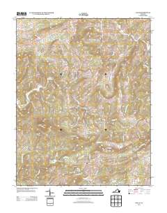 2013 Willis2013 Print · USGSThe Floyd County highlands are captured here in the early twenty-first century, showing a landscape shaped by prominent ridges and historic mills. Researchers can trace the environs of Willis and Union, or locate landmarks such as Mabry Mill and Buffalo Mountain.
 - 2013 Map of Stuart, 2013 Print
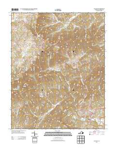 2013 Stuart2013 Print · USGSPatrick County's high-country settlements and river valleys are documented here during the early twenty-first century. Genealogists and hikers can trace the geography around Stuart, Vesta, and Cruzes Store, or locate landmarks like Lovers Leap and Smith River Falls.
Showing maps 1-25 of 75
Top cities of Patrick County
Frequently asked questions
- What are the different types of historical maps available for Patrick County?
- What is the oldest map of Patrick County?
- Where can I purchase historical maps of Patrick County for my home or office?
- Where can I download high-res historical maps of Patrick County?
- Are there historical topographic maps available for Patrick County?
- Is there historical aerial imagery available for Patrick County?
- Where are historical maps of Patrick County sourced from?