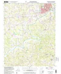
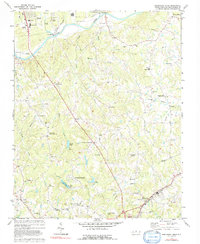
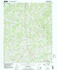
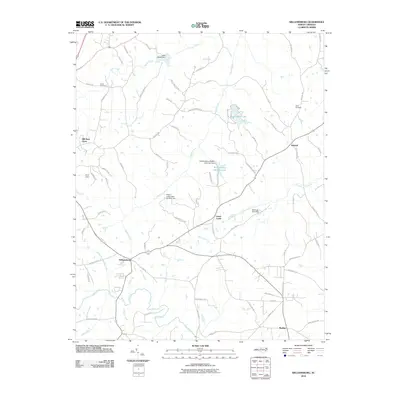
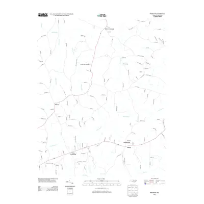
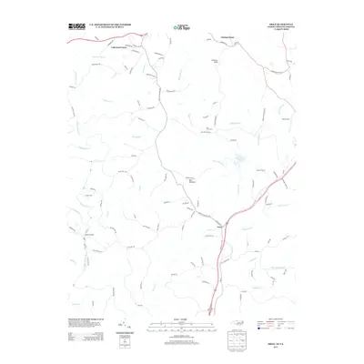
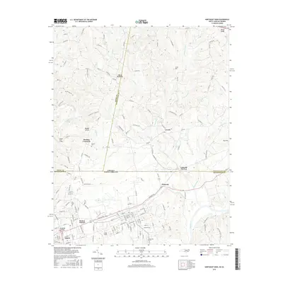
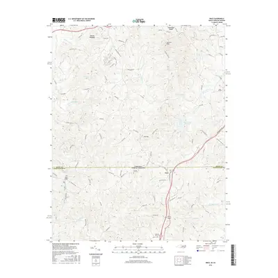
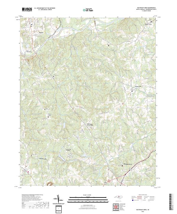
2002 Map of Southwest Eden
USGS Topo · Published 2002About this map
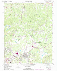
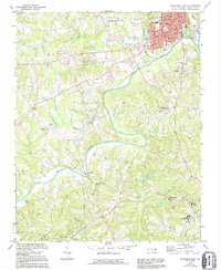
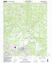
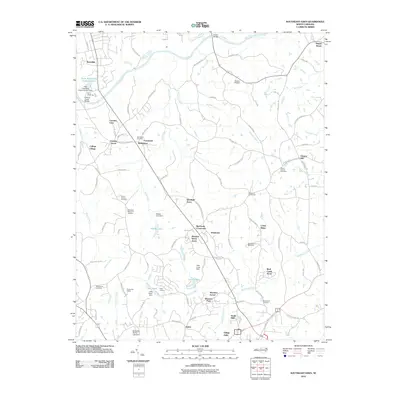
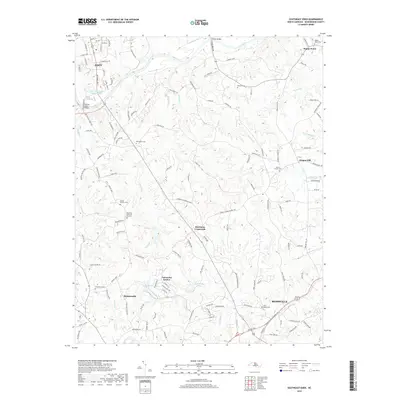
The Dan River meanders through the heart of Rockingham County, anchoring a landscape that bridges the urban industrial hub of Eden with the smaller outposts of Wentworth and Shiloh. In the north, the town of Eden displays a developed core featuring the Filtration Plant, Douglass High Sch, and a Gaging Sta along the riverbank. Cultural landmarks like the Drive-in Theater and Ridge View Cem sit nestled between Matrimony Creek and Buffalo Creek.
Find a feature on this map
39 named features on this map. Tap any name to fly to it.
Don’t see what you’re looking for? This feature index may not catch every label — zoom into the map to look around manually.
Map Details
Editions of this 2002 Southwest Eden Map
This is the sole edition of this map. No revisions or reprints were ever made.
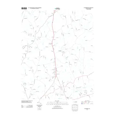
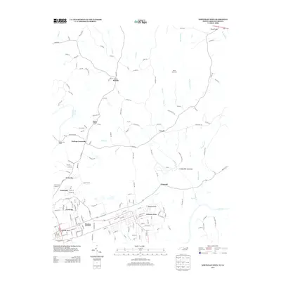
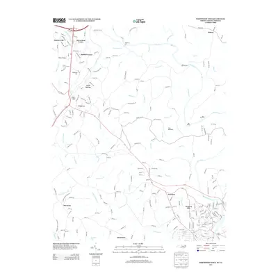
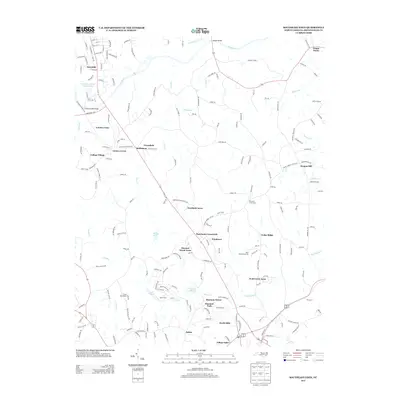
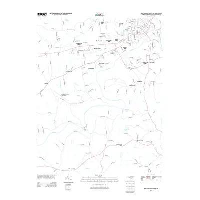
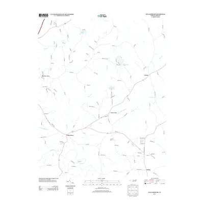
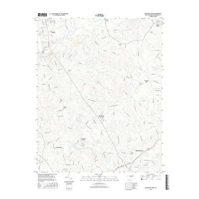
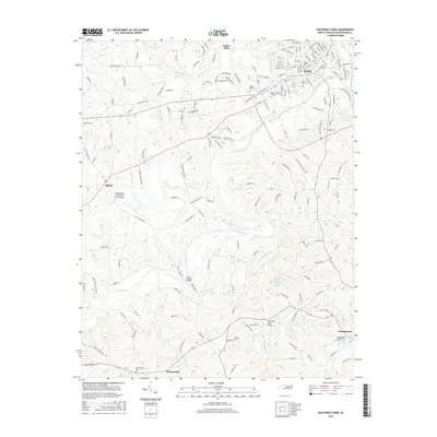
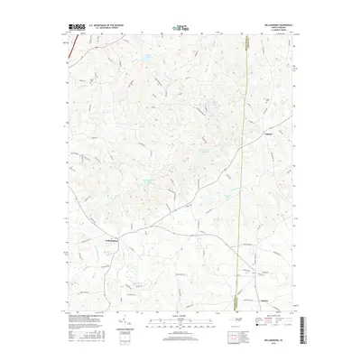
Historical Maps of Eden Through Time
54 maps found
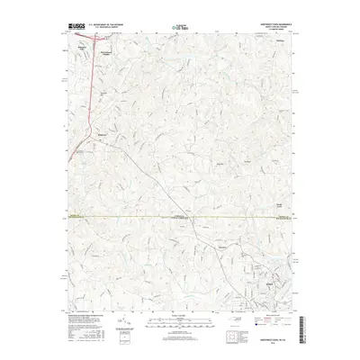
1965 Northeast Eden
Rockingham County, NC
1965 Northwest Eden
Rockingham County, NC
1967 Spencer
Rockingham County, NC
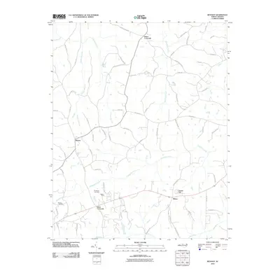
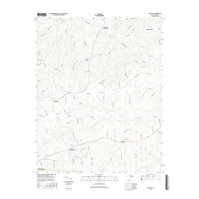
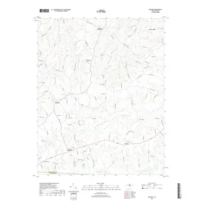
1971 Bethany
Rockingham County, NC
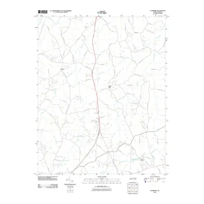
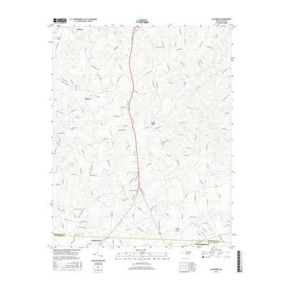
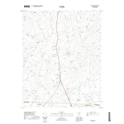
1971 Ellisboro
Rockingham County, NC
1971 Southeast Eden
Rockingham County, NC
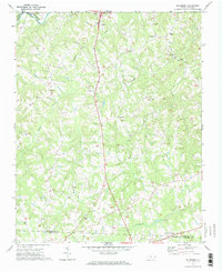
1971 Southwest Eden
Rockingham County, NC

1972 Williamsburg
Rockingham County, NC
1977 Southeast Eden
Rockingham County, NC

1997 Bethany
Rockingham County, NC
1997 Ellisboro
Rockingham County, NC
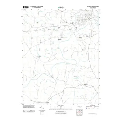
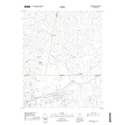
1997 Northeast Eden
Rockingham County, NC
1997 Williamsburg
Rockingham County, NC
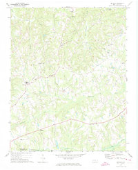
2002 Southwest Eden
Rockingham County, NC
2010 Bethany
Rockingham County, NC
2010 Ellisboro
Rockingham County, NC
2010 Southeast Eden
Rockingham County, NC
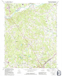
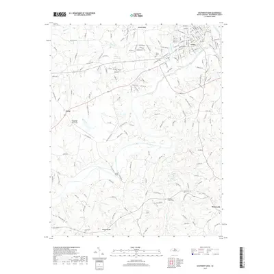
2010 Southwest Eden
Rockingham County, NC
2010 Williamsburg
Rockingham County, NC
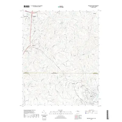
2011 Northeast Eden
Rockingham County, NC
2011 Northwest Eden
Rockingham County, NC
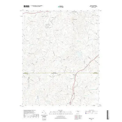
2011 Price
Rockingham County, NC
2013 Bethany
Rockingham County, NC
2013 Ellisboro
Rockingham County, NC
2013 Northeast Eden
Rockingham County, NC
2013 Northwest Eden
Rockingham County, NC
2013 Price
Rockingham County, NC
2013 Southeast Eden
Rockingham County, NC
2013 Southwest Eden
Rockingham County, NC
2013 Williamsburg
Rockingham County, NC
2016 Bethany
Rockingham County, NC
2016 Ellisboro
Rockingham County, NC
2016 Northeast Eden
Rockingham County, NC
2016 Northwest Eden
Rockingham County, NC
2016 Price
Rockingham County, NC
2016 Southeast Eden
Rockingham County, NC
2016 Southwest Eden
Rockingham County, NC
2016 Williamsburg
Rockingham County, NC
2019 Bethany
Rockingham County, NC
2019 Ellisboro
Rockingham County, NC
2019 Northeast Eden
Rockingham County, NC
2019 Northwest Eden
Rockingham County, NC
2019 Price
Rockingham County, NC
2019 Southeast Eden
Rockingham County, NC
2019 Southwest Eden
Rockingham County, NC
2019 Williamsburg
Rockingham County, NC
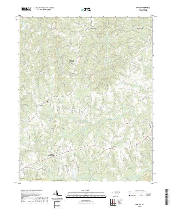
2022 Bethany
Rockingham County, NC
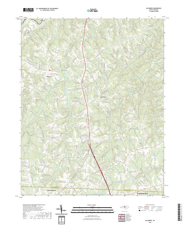
2022 Ellisboro
Rockingham County, NC
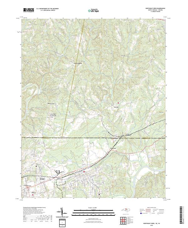
2022 Northeast Eden
Rockingham County, NC
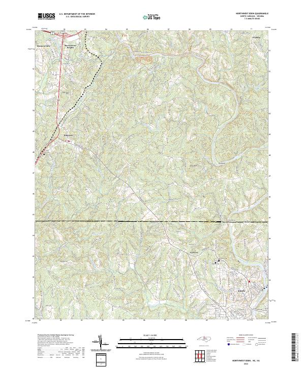
2022 Northwest Eden
Rockingham County, NC

2022 Price
Rockingham County, NC
2022 Southeast Eden
Rockingham County, NC
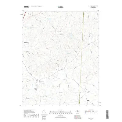
2022 Southwest Eden
Rockingham County, NC
2022 Williamsburg
Rockingham County, NC