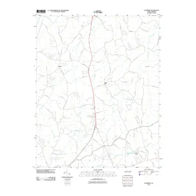
2010 Map of Ellisboro
USGS Topo · Published 2010About this map
Ellisboro and the surrounding Rockingham County countryside are defined by a dendritic network of waterways that flow toward the Dan River in the north. The landscape is marked by small settlements like Gold Hill and the uniquely named Intelligence, which are connected by a web of rural routes. Many of these roads, such as Tobacco Rd, reflect the agricultural heritage of this North Carolina region. Toward the southeast, Price Mill Lake and the Price Mill Lake Dam represent a significant hydraulic feature on Troublesome Creek. The topography is shaped by various branches including Hogans Creek, Jacobs Creek, and Brushy Creek, which carve through the terrain. Evidence of local industry and historical movement is seen in labels like Kallam Mill Rd and Baggage Rd, pointing to the mills and transit paths that once served this rural community.
Find a feature on this map
64 named features on this map. Tap any name to fly to it.
Don’t see what you’re looking for? This feature index may not catch every label — zoom into the map to look around manually.
Map Details
Editions of this 2010 Ellisboro Map
This is the sole edition of this map. No revisions or reprints were ever made.
Other maps of this area

1951 · Lake Brandt
USGS Topo · 1:24,000

1953 · Winston-Salem
USGS Topo · 1:250,000

1953 · Greensboro
USGS Topo · 1:250,000

1954 · Greensboro
USGS Topo · 1:250,000

1955 · Winston-Salem
USGS Topo · 1:250,000

1962 · Winston-Salem
USGS Topo · 1:250,000

1962 · Greensboro
USGS Topo · 1:250,000

1966 · Greensboro
USGS Topo · 1:250,000

1969 · Summerfield
USGS Topo · 1:24,000

1969 · Belews Creek
USGS Topo · 1:24,000