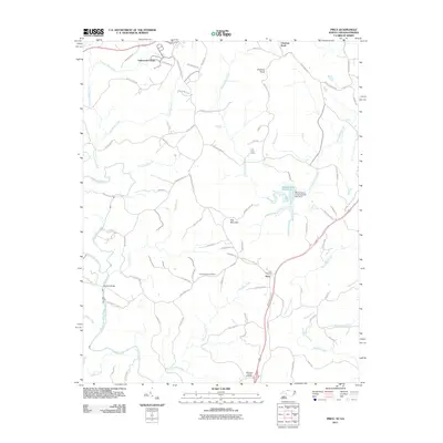
2011 Map of Price
USGS Topo · Published 2011About this map
Price sits at the center of this rural borderland landscape where the Virginia and North Carolina state line bisects the countryside. The terrain is defined by the convergence of the North Mayo River and South Mayo River, which join to form the Mayo River in the southwestern quadrant. This area is historically significant for its crossing points and rural infrastructure, anchored by Anglins Bridge and family-named landmarks like Holt Mountain.
Find a feature on this map
89 named features on this map. Tap any name to fly to it.
Don’t see what you’re looking for? This feature index may not catch every label — zoom into the map to look around manually.
Map Details
Editions of this 2011 Price Map
This is the sole edition of this map. No revisions or reprints were ever made.
Other maps of this area

1924 · Martinsville
USGS Topo · 1:48,000

1926 · Martinsville
USGS Topo · 1:62,500

1926 · Critz
USGS Topo · 1:48,000

1927 · Martinsville
USGS Topo · 1:62,500

1928 · Critz
USGS Topo · 1:62,500

1944 · Martinsville
USGS Topo · 1:62,500

1953 · Winston-Salem
USGS Topo · 1:250,000

1953 · Greensboro
USGS Topo · 1:250,000

1954 · Greensboro
USGS Topo · 1:250,000

1955 · Winston-Salem
USGS Topo · 1:250,000