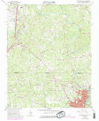
1965 Map of Northwest Eden
USGS Topo · Published 1978About this map
The Smith River snakes through the borderlands of Henry County, Virginia, and Rockingham County, North Carolina, anchoring a landscape defined by the convergence of the Leaksville, Eden, and Spray communities. At the time of this 1960s survey, the region shows the influence of two major rail lines, the Norfolk and Western and the Southern, which facilitated the textile and industrial growth near the river. Along the northern hills, Ridgeway and Irisburg sit amidst a network of small creeks like Leatherwood Creek and Burgess Creek. Significant local landmarks for genealogists and historians include Drewry Mason High School, Roberts Memorial Church, and several rural burial grounds such as Mountain View Cemetery. The terrain is marked by distinctive features like Sheffield Hill and the river's sharp curve at The Bend, documenting the mid-century infrastructure of this North Piedmont corridor.
Find a feature on this map
71 named features on this map. Tap any name to fly to it.
Don’t see what you’re looking for? This feature index may not catch every label — zoom into the map to look around manually.
Map Details
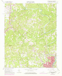
Editions of this 1965 Northwest Eden Map
2 editions found
Other maps of this area

1924 · Martinsville
USGS Topo · 1:48,000

1924 · Draper
USGS Topo · 1:48,000

1926 · Martinsville
USGS Topo · 1:62,500

1926 · Draper
USGS Topo · 1:62,500

1927 · Martinsville
USGS Topo · 1:62,500

1944 · Martinsville
USGS Topo · 1:62,500

1944 · Draper
USGS Topo · 1:62,500

1953 · Greensboro
USGS Topo · 1:250,000

1954 · Greensboro
USGS Topo · 1:250,000

1962 · Greensboro
USGS Topo · 1:250,000