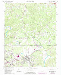
1965 Map of Northeast Eden
USGS Topo · Published 1984About this map
The Smith River and Dan River converge near the Virginia and North Carolina state line, anchoring a region defined by industrial textile development and rail transport. The city of Eden is documented shortly after its consolidation, showing the distinct characters of Spray, Draper, and the Central Area. Infrastructure supporting this growth is prominent, including the Southern railway lines, a large substation, and the Tri-City Airport.
Find a feature on this map
62 named features on this map. Tap any name to fly to it.
Don’t see what you’re looking for? This feature index may not catch every label — zoom into the map to look around manually.
Map Details
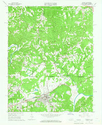
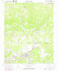
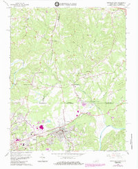
Editions of this 1965 Northeast Eden Map
4 editions found
Other maps of this area

1924 · Martinsville
USGS Topo · 1:48,000

1924 · Draper
USGS Topo · 1:48,000

1926 · Martinsville
USGS Topo · 1:62,500

1926 · Draper
USGS Topo · 1:62,500

1927 · Martinsville
USGS Topo · 1:62,500

1944 · Martinsville
USGS Topo · 1:62,500

1944 · Draper
USGS Topo · 1:62,500

1953 · Greensboro
USGS Topo · 1:250,000

1954 · Greensboro
USGS Topo · 1:250,000

1962 · Greensboro
USGS Topo · 1:250,000