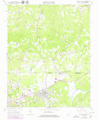
1965 Map of Northeast Eden
USGS Topo · Published 1979About this map
The Smith River and Dan River define the industrial and agricultural landscape of the Rockingham County borderlands during this mid-century period. The consolidated community of Eden sits at the heart of the region, flanked by the residential and commercial areas of Spray, Draper, and Fieldcrest. This survey documents the transition from river-dependent industry to the rising importance of aviation and modern infrastructure, highlighted by the Tri-City Airport.
Find a feature on this map
58 named features on this map. Tap any name to fly to it.
Don’t see what you’re looking for? This feature index may not catch every label — zoom into the map to look around manually.
Map Details
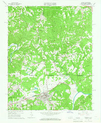
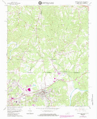
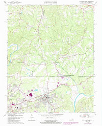
Editions of this 1965 Northeast Eden Map
4 editions found
Other maps of this area

1924 · Martinsville
USGS Topo · 1:48,000

1924 · Draper
USGS Topo · 1:48,000

1926 · Martinsville
USGS Topo · 1:62,500

1926 · Draper
USGS Topo · 1:62,500

1927 · Martinsville
USGS Topo · 1:62,500

1944 · Martinsville
USGS Topo · 1:62,500

1944 · Draper
USGS Topo · 1:62,500

1953 · Greensboro
USGS Topo · 1:250,000

1954 · Greensboro
USGS Topo · 1:250,000

1962 · Greensboro
USGS Topo · 1:250,000