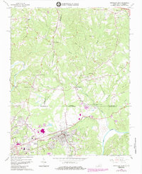
1965 Map of Northeast Eden
USGS Topo · Published 1984About this map
The Dan River and Smith River converge in this borderland survey, illustrating the industrial and transportation nexus of Eden during the mid-1960s. The Southern railroad serves as a primary artery, connecting local hubs like Draper, Spray, and the Central Area. Significant infrastructure, including the Tri-City Airport and numerous pipelines, highlights the region's modernization, yet the landscape remains dotted with older community markers. Numerous country churches and cemeteries, such as Piney Fork Ch and Blue Creek Cem, are scattered across the terrain from Aiken Summit to Sandy Level. The map also captures several distinctive local landmarks, including the Meadow Greens Country Club and the Morgan Ford Bridge crossing the Smith River. This survey is particularly notable for its detailed recording of the Virginia and North Carolina state line, cutting through settlements like Leaksville Junction.
Find a feature on this map
48 named features on this map. Tap any name to fly to it.
Don’t see what you’re looking for? This feature index may not catch every label — zoom into the map to look around manually.
Map Details
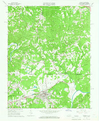
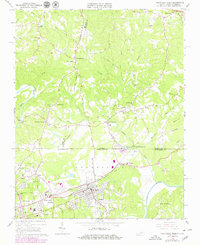
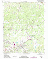
Editions of this 1965 Northeast Eden Map
4 editions found
Other maps of this area

1924 · Martinsville
USGS Topo · 1:48,000

1924 · Draper
USGS Topo · 1:48,000

1926 · Martinsville
USGS Topo · 1:62,500

1926 · Draper
USGS Topo · 1:62,500

1927 · Martinsville
USGS Topo · 1:62,500

1944 · Martinsville
USGS Topo · 1:62,500

1944 · Draper
USGS Topo · 1:62,500

1953 · Greensboro
USGS Topo · 1:250,000

1954 · Greensboro
USGS Topo · 1:250,000

1962 · Greensboro
USGS Topo · 1:250,000