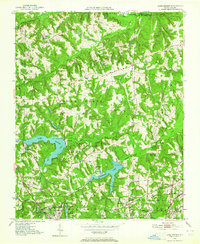
1951 Map of Lake Brandt
USGS Topo · Published 1964About this map
The Guilford Courthouse Natl Military Park anchors the southern portion of this landscape, marking the historic grounds where the Revolutionary War reshaped the American South. This mid-century view captures the transition of northern Guilford County as it balances rural crossroads like Scalesville and Hillsdale with the developing water infrastructure for the growing city nearby. Central to the sheet are the extensive reservoirs of Lake Brandt and Richland Lake, complete with the Greensboro Waterworks and multiple spillways that manage the Reedy Fork Creek and Richland Creek watersheds.
Find a feature on this map
47 named features on this map. Tap any name to fly to it.
Don’t see what you’re looking for? This feature index may not catch every label — zoom into the map to look around manually.
Map Details
Editions of this 1951 Lake Brandt Map
4 editions found
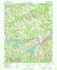
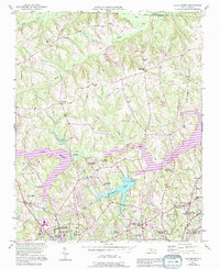
Other maps of this area

1951 · Guilford
USGS Topo · 1:24,000

1951 · Lake Brandt
USGS Topo · 1:24,000

1951 · Browns Summit
USGS Topo · 1:24,000

1951 · Greensboro
USGS Topo · 1:24,000

1952 · Mc Leansville
USGS Topo · 1:24,000

1953 · Greensboro
USGS Topo · 1:250,000

1954 · Greensboro
USGS Topo · 1:250,000

1962 · Greensboro
USGS Topo · 1:250,000

1966 · Greensboro
USGS Topo · 1:250,000

1969 · Summerfield
USGS Topo · 1:24,000