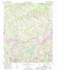
1951 Map of Lake Brandt
USGS Topo · Published 1994About this map
Guilford Courthouse Natl Military Park anchors the southern edge of this mid-century landscape, marking a significant Revolutionary War site as it appeared before decades of suburban expansion. The terrain is defined by the expansive waters of Lake Brandt and the smaller Richland Lake, which served as critical infrastructure for the Greensboro Waterworks. The map captures a transition from rural crossroads like Scalesville and Hillsdale toward the organized residential growth found in North Hyde Park and White Oak Heights.
Find a feature on this map
39 named features on this map. Tap any name to fly to it.
Don’t see what you’re looking for? This feature index may not catch every label — zoom into the map to look around manually.
Map Details
Editions of this 1951 Lake Brandt Map
4 editions found
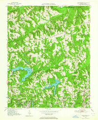
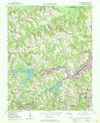
Other maps of this area

1951 · Guilford
USGS Topo · 1:24,000

1951 · Lake Brandt
USGS Topo · 1:24,000

1951 · Browns Summit
USGS Topo · 1:24,000

1951 · Greensboro
USGS Topo · 1:24,000

1952 · Mc Leansville
USGS Topo · 1:24,000

1953 · Greensboro
USGS Topo · 1:250,000

1954 · Greensboro
USGS Topo · 1:250,000

1962 · Greensboro
USGS Topo · 1:250,000

1966 · Greensboro
USGS Topo · 1:250,000

1969 · Summerfield
USGS Topo · 1:24,000