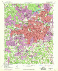
1951 Map of Greensboro
USGS Topo · Published 1970About this map
Greensboro is shown at a pivotal moment of mid-century growth, where established industrial mill villages meet expanding academic campuses and postwar residential neighborhoods. The urban landscape is anchored by the presence of Greensboro College, the Womens College Univ of N C, and historically significant institutions like A & T College and Bennett College. The map reveals the distinct character of early developments such as Irving Park and the specialized industrial zones of Terra Cotta and Revolution.
Find a feature on this map
112 named features on this map. Tap any name to fly to it.
Don’t see what you’re looking for? This feature index may not catch every label — zoom into the map to look around manually.
Map Details
Editions of this 1951 Greensboro Map
5 editions found
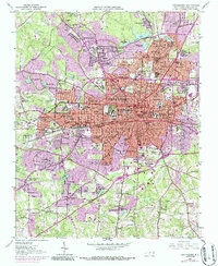
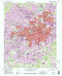
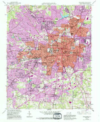
Other maps of this area

1950 · High Point East
USGS Topo · 1:24,000

1951 · High Point East
USGS Topo · 1:24,000

1951 · Guilford
USGS Topo · 1:24,000

1951 · Lake Brandt
USGS Topo · 1:24,000

1951 · Browns Summit
USGS Topo · 1:24,000

1951 · Greensboro
USGS Topo · 1:24,000

1952 · Mc Leansville
USGS Topo · 1:24,000

1953 · Raleigh
USGS Topo · 1:250,000

1953 · Greensboro
USGS Topo · 1:250,000

1954 · Greensboro
USGS Topo · 1:250,000
Featured Places
- Greensboro, NC
- Sedgefield Park, NC
- Starmount Forest, Greensboro
- Meadowood Homes, Greensboro
- Friendly Acres, Greensboro