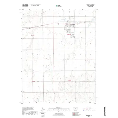
2018 Map of Greensburg
USGS Topo · Published 2018About this map
Greensburg stands as the primary hub of activity on this Kiowa County high plains landscape, organized by a precise grid of residential streets such as W Kansas Ave and S Main St. Just north of the town center, Fairview Cem provides a point of genealogical interest, while the nearby Kiowa County State Lake marks a significant local landmark for recreation and water management. The terrain is defined by the headwaters of two distinct drainage systems: the E Fork Rattlesnake Cr and S Br Rattlesnake Cr flowing north, and the Medicine Lodge River and its N Br Medicine Lodge River carving south. The contrast between the rigid geometric road grid, including numerous section-line routes like KC I St and KC M St, and the meandering natural paths of these prairie waterways illustrates the 21st-century balance between agricultural infrastructure and the natural Kansas environment.
Find a feature on this map
64 named features on this map. Tap any name to fly to it.
Don’t see what you’re looking for? This feature index may not catch every label — zoom into the map to look around manually.
Map Details
Editions of this 2018 Greensburg Map
This is the sole edition of this map. No revisions or reprints were ever made.
Other maps of this area
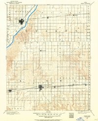
1889 · Kinsley
USGS Topo · 1:125,000
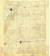
1892 · Kinsley
USGS Topo · 1:125,000
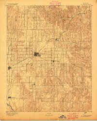
1892 · Coldwater
USGS Topo · 1:125,000
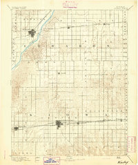
1894 · Kinsley
USGS Topo · 1:125,000
1955 · Pratt
USGS Topo · 1:250,000
1959 · Pratt
USGS Topo · 1:250,000
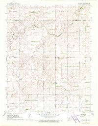
1968 · Haviland NW
USGS Topo · 1:24,000
1968 · Brenham
USGS Topo · 1:24,000
1969 · Greensburg NW
USGS Topo · 1:24,000
1969 · Greensburg
USGS Topo · 1:24,000