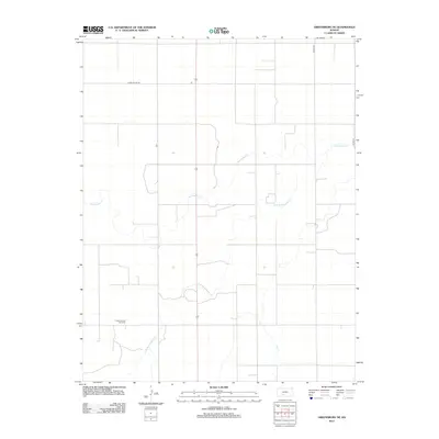
2012 Map of Greensburg NE
USGS Topo · Published 2012About this map
Einsel Oil and Gas Field stands as a primary industrial marker in this rural corner of Kiowa County, indicating the importance of energy extraction in the local economy during the early 21st century. The landscape is defined by the winding course of Rattlesnake Cr and its tributary, the S Br Rattlesnake Cr, which meander through a strictly gridded system of agricultural roads. These routes, including Kiowa Co Line Rd and Co Hwy-35, follow the section lines of the Public Land Survey System, illustrating the persistent geometry of High Plains land management. The sparse distribution of named features reflects the open, agrarian character of the Kansas prairie, where watercourses and oil fields provide the few breaks in the regular pattern of fields and section roads like Kc Ave 35.
Find a feature on this map
6 named features on this map. Tap any name to fly to it.
Don’t see what you’re looking for? This feature index may not catch every label — zoom into the map to look around manually.
Map Details
Editions of this 2012 Greensburg NE Map
This is the sole edition of this map. No revisions or reprints were ever made.
Other maps of this area

1889 · Kinsley
USGS Topo · 1:125,000

1892 · Kinsley
USGS Topo · 1:125,000

1894 · Kinsley
USGS Topo · 1:125,000

1955 · Pratt
USGS Topo · 1:250,000

1959 · Pratt
USGS Topo · 1:250,000

1968 · Haviland NW
USGS Topo · 1:24,000

1968 · Brenham
USGS Topo · 1:24,000

1969 · Greensburg NW
USGS Topo · 1:24,000
1969 · Greensburg
USGS Topo · 1:24,000
1969 · Mullinville
USGS Topo · 1:24,000