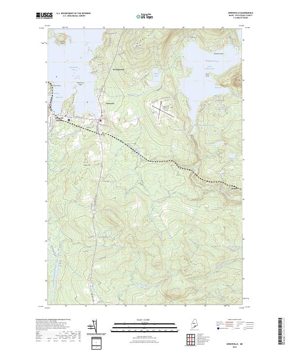
2024 Map of Greenville
USGS Topo · Published 2024About this map
Moosehead Lake anchors this landscape, where the southern shore serves as a primary gateway to the Maine North Woods. The settlement pattern concentrates at Greenville and Greenville Junction, where the convergence of water, rail, and road networks historically supported the region's timber and recreational industries. The presence of the B & A Railroad RD N corridor and the Greenville Municipal Airport reflects a transition from traditional rail transport to modern aerial access for the remote interior.
Find a feature on this map
85 named features on this map. Tap any name to fly to it.
Don’t see what you’re looking for? This feature index may not catch every label — zoom into the map to look around manually.
Map Details
Editions of this 2024 Greenville Map
This is the sole edition of this map. No revisions or reprints were ever made.
Other maps of this area

1920 · Moosehead Lake
USGS Topo · 1:62,500

1922 · Moosehead Lake
USGS Topo · 1:62,500

1930 · Moosehead Lake
USGS Topo · 1:62,500

1944 · Moosehead Lake
USGS Topo · 1:62,500

1950 · Sebec Lake
USGS Topo · 1:62,500

1951 · Greenville
USGS Topo · 1:62,500

1952 · First Roach Pond
USGS Topo · 1:62,500

1954 · Millinocket
USGS Topo · 1:250,000

1957 · Moosehead Lake
USGS Topo · 1:62,500

1958 · Millinocket
USGS Topo · 1:250,000
Featured Places
- Greenville, ME
- Shirley, ME
- Cove Point Township, ME
- Moosehead Junction Township, ME
- Elliottsville Township, ME