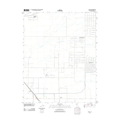
2012 Map of Gregg
USGS Topo · Published 2012About this map
Madera Ranchos and the surrounding agricultural landscape define this portion of the Central Valley during the early 2010s. The area is characterized by a precise grid of roads, including Avenue 12 and Road 36, which organize the residential clusters of Bonadelle Ranchos and Bonadelle Ranchos Five. This settlement pattern reflects the mid-to-late 20th-century transition of traditional ranch lands into large-lot rural residential developments, a distinct shift from the older rail-and-road sidings found further south.
Find a feature on this map
54 named features on this map. Tap any name to fly to it.
Don’t see what you’re looking for? This feature index may not catch every label — zoom into the map to look around manually.
Map Details
Editions of this 2012 Gregg Map
This is the sole edition of this map. No revisions or reprints were ever made.
Other maps of this area

1912 · Mariposa
USGS Topo · 1:125,000

1919 · Little Table Mountain
USGS Topo · 1:31,680

1920 · Kismet
USGS Topo · 1:31,680

1921 · Daulton
USGS Topo · 1:31,680

1921 · Bullard
USGS Topo · 1:31,680

1922 · Lanes Bridge
USGS Topo · 1:31,680

1922 · Gregg
USGS Topo · 1:31,680

1922 · Madera
USGS Topo · 1:31,680

1923 · Herndon
USGS Topo · 1:31,680

1923 · Biola
USGS Topo · 1:31,680