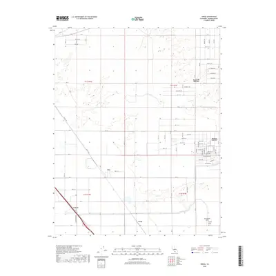
2018 Map of Gregg
USGS Topo · Published 2018About this map
The agricultural and residential landscape of Madera County is defined by its strict grid of avenues and the presence of seasonal watercourses. Madera Ranchos and Bonadelle Ranchos stand out as primary residential clusters, while smaller named points such as Irrigosa, Trigo, and Gregg sit along the major transportation arteries. These transport corridors, including the prominent Sante Fe Dr and Golden State Blvd, cut diagonally across the otherwise cardinal township and range lines, reflecting the historical infrastructure of the Central Valley. The terrain is subtly drained by Little Dry Cr and Root Cr, which meander through the southern reaches of the map. This survey illustrates the expansion of rural residential developments into the productive lands of the San Joaquin Valley, showing the transition from open ranch land to structured street networks like Bonadelle Ave and Pauline Ave.
Find a feature on this map
80 named features on this map. Tap any name to fly to it.
Don’t see what you’re looking for? This feature index may not catch every label — zoom into the map to look around manually.
Map Details
Editions of this 2018 Gregg Map
This is the sole edition of this map. No revisions or reprints were ever made.
Other maps of this area
1912 · Mariposa
USGS Topo · 1:125,000
1919 · Little Table Mountain
USGS Topo · 1:31,680
1920 · Kismet
USGS Topo · 1:31,680
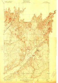
1921 · Daulton
USGS Topo · 1:31,680
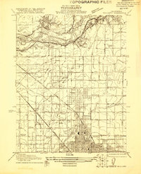
1921 · Bullard
USGS Topo · 1:31,680
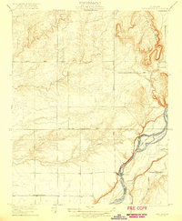
1922 · Lanes Bridge
USGS Topo · 1:31,680
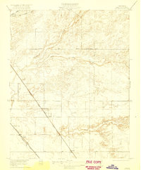
1922 · Gregg
USGS Topo · 1:31,680
1922 · Madera
USGS Topo · 1:31,680
1923 · Herndon
USGS Topo · 1:31,680
1923 · Biola
USGS Topo · 1:31,680