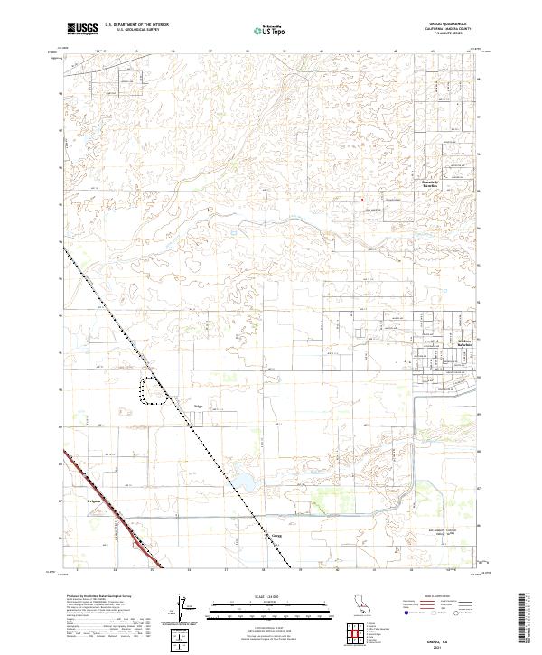
2021 Map of Gregg
USGS Topo · Published 2021About this map
Madera Ranchos and Bonadelle Ranchos anchor the eastern edge of this modern survey, reflecting the residential expansion within the fertile San Joaquin Valley. This portion of the Central Valley is defined by a rigid grid of agricultural and access roads, including Ave 17 and Rd 37, which segment the landscape for large-scale cultivation. To the west, the smaller settlements of Trigo and Irrigosa sit near the rail and highway corridors that historically facilitated the movement of goods through the region. The natural drainage of the valley is represented by the seasonal courses of Little Dry Cr and Root Cr, which traverse the flat terrain. The layout of Gregg and its surroundings illustrates the ongoing transition from traditional agriculture to rural-residential developments at the start of the 2020s.
Find a feature on this map
81 named features on this map. Tap any name to fly to it.
Don’t see what you’re looking for? This feature index may not catch every label — zoom into the map to look around manually.
Map Details
Editions of this 2021 Gregg Map
This is the sole edition of this map. No revisions or reprints were ever made.
Other maps of this area

1912 · Mariposa
USGS Topo · 1:125,000

1919 · Little Table Mountain
USGS Topo · 1:31,680

1920 · Kismet
USGS Topo · 1:31,680

1921 · Daulton
USGS Topo · 1:31,680

1921 · Bullard
USGS Topo · 1:31,680

1922 · Lanes Bridge
USGS Topo · 1:31,680

1922 · Gregg
USGS Topo · 1:31,680

1922 · Madera
USGS Topo · 1:31,680

1923 · Herndon
USGS Topo · 1:31,680

1923 · Biola
USGS Topo · 1:31,680