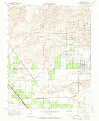
1965 Map of Gregg
USGS Topo · Published 1966About this map
The agricultural grid of Madera County is defined by the intersection of major rail corridors and seasonal watercourses in the mid-1960s. The Southern Pacific and Atchison Topeka and Santa Fe railroads cut diagonally across the landscape, establishing the small sidings of Gregg and Trigo as focal points for local transport. Irrigation infrastructure is prominent, with several labels for Siphons indicating the managed water flow necessary for the surrounding fields, while Cottonwood Creek and Little Dry Creek meander through the northern sections.
Find a feature on this map
29 named features on this map. Tap any name to fly to it.
Don’t see what you’re looking for? This feature index may not catch every label — zoom into the map to look around manually.
Map Details
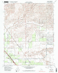
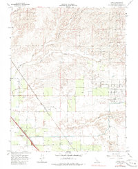
Editions of this 1965 Gregg Map
3 editions found
Other maps of this area

1912 · Mariposa
USGS Topo · 1:125,000

1919 · Little Table Mountain
USGS Topo · 1:31,680

1920 · Kismet
USGS Topo · 1:31,680

1921 · Daulton
USGS Topo · 1:31,680

1921 · Bullard
USGS Topo · 1:31,680

1922 · Lanes Bridge
USGS Topo · 1:31,680

1922 · Gregg
USGS Topo · 1:31,680

1922 · Madera
USGS Topo · 1:31,680

1923 · Herndon
USGS Topo · 1:31,680

1923 · Biola
USGS Topo · 1:31,680