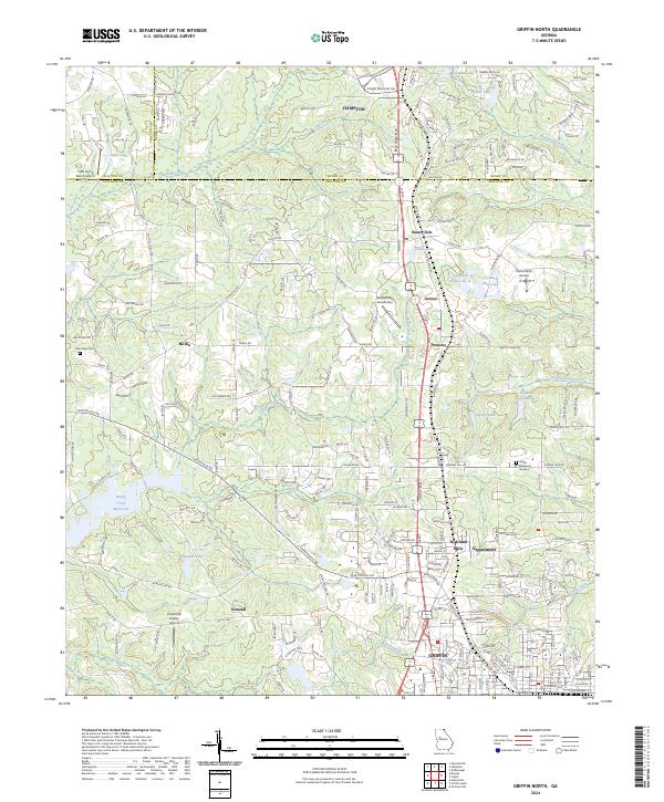
2024 Map of Griffin North
USGS Topo · Published 2024About this map
Griffin and its northern industrial and residential fringes are characterized by a dense network of local settlements and aviation infrastructure. The northern edge of the city includes the textile heritage associated with Highland Mills and the agricultural research presence at Experiment. To the west, the landscape transitions into more rural terrain around Birdie and Esmond, where family-owned property and local landmarks like Old Salem Cem provide tangible links to the area's genealogical past.
Find a feature on this map
43 named features on this map. Tap any name to fly to it.
Don’t see what you’re looking for? This feature index may not catch every label — zoom into the map to look around manually.
Map Details
Editions of this 2024 Griffin North Map
This is the sole edition of this map. No revisions or reprints were ever made.
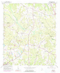
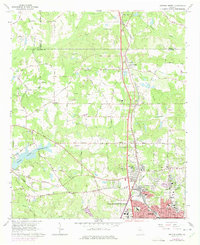
Historical Maps of Birdie Through Time
4 maps found