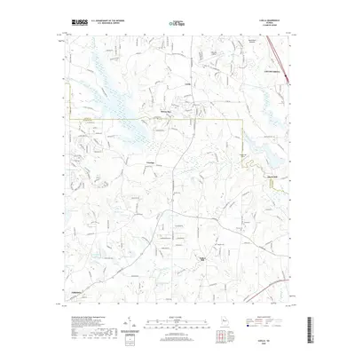
2024 Map of Luella
USGS Topo · Published 2024About this map
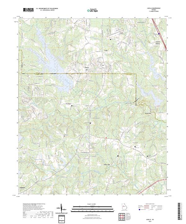
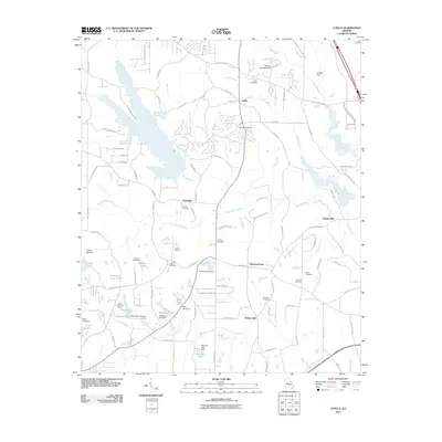
Steeles Mill and Walker Mill anchor a landscape defined by the winding course of the Towaliga River and its numerous tributaries, including Troublesome Creek and Cabin Creek. This modern survey reveals a region transitioning from its agricultural roots to more contemporary land use, evidenced by the development around Heron Bay and the presence of the Chigger Hill Airport. For genealogists, the map is remarkably dense with family-named burial grounds, such as Barham Cem, Manley Cem, and Parham Cem, which remain as markers of the area's rural heritage. The terrain is dotted with small impoundments like Regents Lake and Dougherty Lake, while the northern reaches include the expansive Bethlehem Bottoms. Settlements like Luella and Towalaga serve as local hubs, connected by a network that includes McIntosh Trl and the Arthur K Bolton Pkwy.
Find a feature on this map
71 named features on this map. Tap any name to fly to it.
Don’t see what you’re looking for? This feature index may not catch every label — zoom into the map to look around manually.
Map Details
Editions of this 2024 Luella Map
This is the sole edition of this map. No revisions or reprints were ever made.
Historical Maps of Griffin Through Time
12 maps found
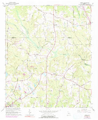
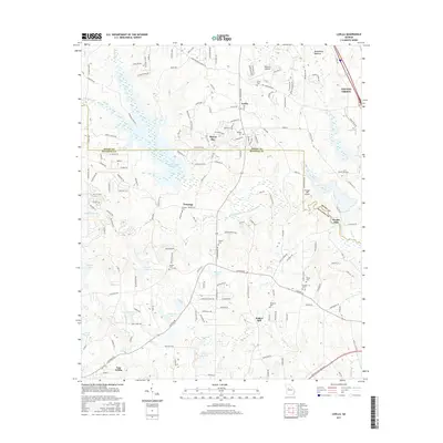
1964 Luella
Spalding County, GA
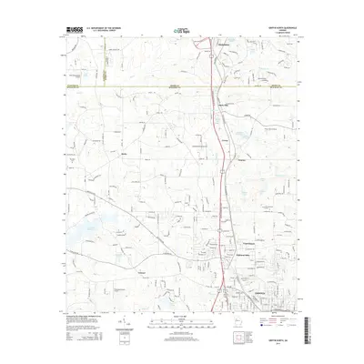
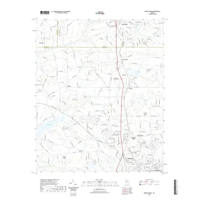
1965 Griffin North
Spalding County, GA
2011 Griffin North
Spalding County, GA
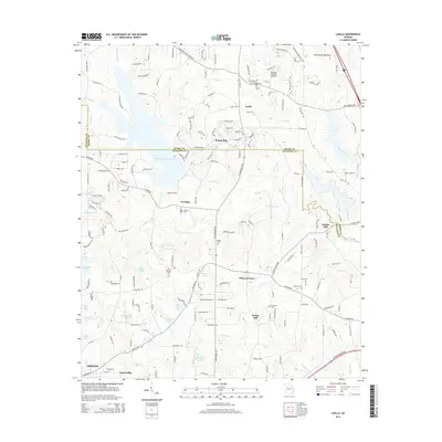
2011 Luella
Spalding County, GA
2014 Griffin North
Spalding County, GA
2014 Luella
Spalding County, GA
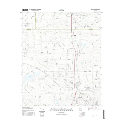
2017 Griffin North
Spalding County, GA
2017 Luella
Spalding County, GA
2020 Griffin North
Spalding County, GA
2020 Luella
Spalding County, GA
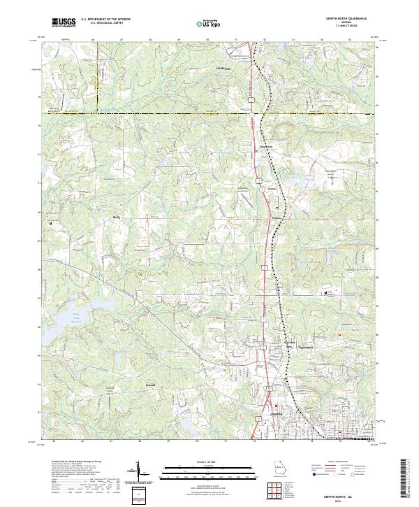
2024 Griffin North
Spalding County, GA
2024 Luella
Spalding County, GA