
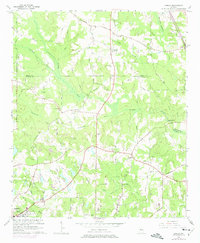
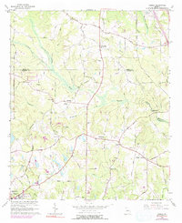
1964 Map of Luella
USGS Topo · Published 1965About this map
The rolling hills of Henry and Spalding Counties in the mid-1960s are defined by a network of rural settlements and agricultural crossroads connected by the Southern railroad. The community of Luella serves as a central hub along the rail line, while the southern boundary of the map captures the northern edges of Griffin. Local geography is shaped by the winding Tomaliga River, with several milling sites like Steeles Mill and Walker Mill marking the historical importance of these waterways to the local economy.
Find a feature on this map
62 named features on this map. Tap any name to fly to it.
Don’t see what you’re looking for? This feature index may not catch every label — zoom into the map to look around manually.
Map Details
Editions of this 1964 Luella Map
3 editions found
Other maps of this area

1951 · Barnesville
USGS Topo · 1:62,500

1953 · Atlanta
USGS Topo · 1:250,000

1957 · Atlanta
USGS Topo · 1:250,000

1958 · Atlanta
USGS Topo · 1:250,000
1964 · Mc Donough
USGS Topo · 1:24,000
1964 · Ola
USGS Topo · 1:24,000
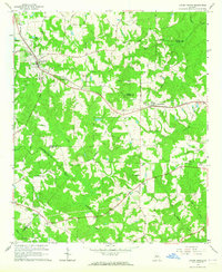
1964 · Locust Grove
USGS Topo · 1:24,000
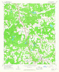
1965 · Hampton
USGS Topo · 1:24,000

1965 · Griffin North
USGS Topo · 1:24,000
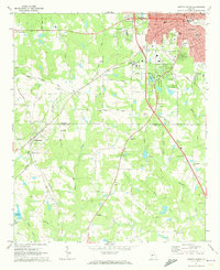
1971 · Griffin South
USGS Topo · 1:24,000