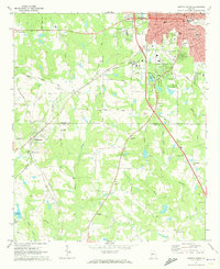
1971 Map of Griffin South
USGS Topo · Published 1973About this map
Griffin anchors the northern portion of this Georgia survey, showing a developed municipal core with its Courthouse, City Hall, and the Waterworks near Municipal Park. The urban grid transitions into agricultural and research land at the State Experimental Farms before moving into the rolling countryside of Pike County. To the southwest, the small settlements of Williamson and Rover are linked by the Southern railway line, which cuts a diagonal path through the landscape.
Find a feature on this map
56 named features on this map. Tap any name to fly to it.
Don’t see what you’re looking for? This feature index may not catch every label — zoom into the map to look around manually.
Map Details
Editions of this 1971 Griffin South Map
2 editions found
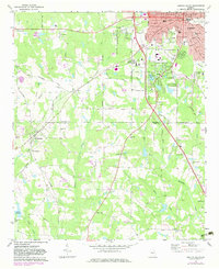
Other maps of this area

1951 · Barnesville
USGS Topo · 1:62,500

1953 · Atlanta
USGS Topo · 1:250,000

1957 · Atlanta
USGS Topo · 1:250,000

1958 · Atlanta
USGS Topo · 1:250,000

1964 · Luella
USGS Topo · 1:24,000

1965 · Griffin North
USGS Topo · 1:24,000

1965 · Brooks
USGS Topo · 1:24,000

1971 · Hollonville
USGS Topo · 1:24,000
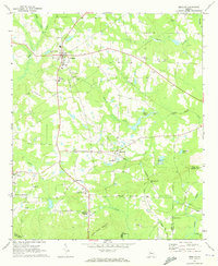
1971 · Zebulon
USGS Topo · 1:24,000
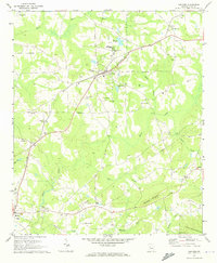
1971 · Concord
USGS Topo · 1:24,000