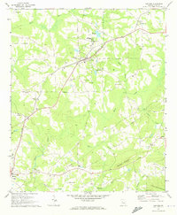
1971 Map of Concord
USGS Topo · Published 1973About this map
The Southern railroad corridor dictates the settlement pattern of this agricultural landscape in Pike County, Georgia, connecting the towns of Concord and Molena. Both communities serve as hubs for the surrounding countryside, where small clusters of civic life appear at Neal and Pedenville. The presence of the County High Sch in Concord alongside the City Wells and Sewage Disposal Ponds indicates a maturing municipal infrastructure serving the local rural population.
Find a feature on this map
44 named features on this map. Tap any name to fly to it.
Don’t see what you’re looking for? This feature index may not catch every label — zoom into the map to look around manually.
Map Details
Editions of this 1971 Concord Map
2 editions found
Other maps of this area

1907 · Talbotton
USGS Topo · 1:125,000

1934 · Warm Springs
USGS Topo · 1:62,500

1935 · Thomaston
USGS Topo · 1:48,000

1936 · Warm Springs
USGS Topo · 1:62,500

1939 · Thomaston
USGS Topo · 1:62,500

1953 · Atlanta
USGS Topo · 1:250,000

1955 · Phenix City
USGS Topo · 1:250,000

1957 · Phenix City
USGS Topo · 1:250,000

1957 · Atlanta
USGS Topo · 1:250,000

1958 · Phenix City
USGS Topo · 1:250,000