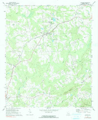
1971 Map of Concord
USGS Topo · Published 1991About this map
Concord serves as the central hub of this Pike County landscape, situated along the Southern railroad line that cuts diagonally through the terrain. The map reveals a deeply rooted rural community in the early 1970s, defined by its numerous family-named landmarks and places of worship. To the north, Jolly sits near Smith Chapel and the Hale Cem, while the southern reaches feature the settlements of Molena and Neal. The landscape is carved by several significant waterways, including Elkins Creek and Birch Creek, which wind through the area near the prominent elevations of Buzzard Mountain and Indian Grave Mountain. Notable for genealogists, the map identifies a high density of rural cemeteries like Magnolia Cem and Beckham Cem, alongside local institutions such as the County High Sch and Country Club.
Find a feature on this map
48 named features on this map. Tap any name to fly to it.
Don’t see what you’re looking for? This feature index may not catch every label — zoom into the map to look around manually.
Map Details
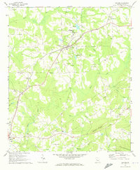
Editions of this 1971 Concord Map
2 editions found
Other maps of this area

1907 · Talbotton
USGS Topo · 1:125,000

1934 · Warm Springs
USGS Topo · 1:62,500

1935 · Thomaston
USGS Topo · 1:48,000

1936 · Warm Springs
USGS Topo · 1:62,500

1939 · Thomaston
USGS Topo · 1:62,500

1953 · Atlanta
USGS Topo · 1:250,000

1955 · Phenix City
USGS Topo · 1:250,000

1957 · Phenix City
USGS Topo · 1:250,000

1957 · Atlanta
USGS Topo · 1:250,000

1958 · Phenix City
USGS Topo · 1:250,000