
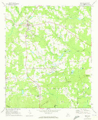
1971 Map of Hollonville
USGS Topo · Published 1973About this map
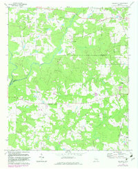
The Flint River meanders through this portion of Pike and Spalding counties, defining a landscape of agricultural tradition and dispersed rural settlements. This early 1970s survey documents the community of Hollonville at the junction of several local roads, situated near Shoal Creek Ch and the Wilson Cem. Further north, Blantons Mill and the nearby Blanton Cem indicate long-standing family landholdings along the river's edge.
Find a feature on this map
60 named features on this map. Tap any name to fly to it.
Don’t see what you’re looking for? This feature index may not catch every label — zoom into the map to look around manually.
Map Details
Editions of this 1971 Hollonville Map
2 editions found
Other maps of this area

1953 · Atlanta
USGS Topo · 1:250,000

1957 · Atlanta
USGS Topo · 1:250,000

1958 · Atlanta
USGS Topo · 1:250,000

1965 · Senoia
USGS Topo · 1:24,000

1965 · Griffin North
USGS Topo · 1:24,000

1965 · Brooks
USGS Topo · 1:24,000
1971 · Haralson
USGS Topo · 1:24,000
1971 · Gay
USGS Topo · 1:24,000
1971 · Griffin South
USGS Topo · 1:24,000
1971 · Zebulon
USGS Topo · 1:24,000