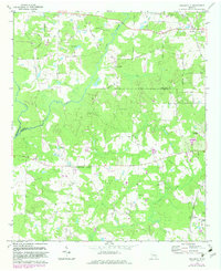
1971 Map of Hollonville
USGS Topo · Published 1983About this map
The Flint River meanders across the rural landscape of Pike and Spalding counties, defining the character of this mid-century Georgia agricultural region. The settlement of Hollonville sits as a central hub, while the Southern railroad line runs through the eastern portion of the quadrangle, passing through Zetella and Reidsboro. The map documents a community deeply rooted in its local institutions, evidenced by numerous named family burial grounds and houses of worship like Shoal Creek Ch, Fairfield Ch, and Friendship Ch.
Find a feature on this map
51 named features on this map. Tap any name to fly to it.
Don’t see what you’re looking for? This feature index may not catch every label — zoom into the map to look around manually.
Map Details
Editions of this 1971 Hollonville Map
2 editions found
Other maps of this area

1953 · Atlanta
USGS Topo · 1:250,000

1957 · Atlanta
USGS Topo · 1:250,000

1958 · Atlanta
USGS Topo · 1:250,000

1965 · Senoia
USGS Topo · 1:24,000

1965 · Griffin North
USGS Topo · 1:24,000

1965 · Brooks
USGS Topo · 1:24,000

1971 · Hollonville
USGS Topo · 1:24,000
1971 · Haralson
USGS Topo · 1:24,000
1971 · Gay
USGS Topo · 1:24,000
1971 · Griffin South
USGS Topo · 1:24,000