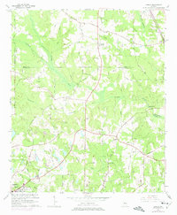
1964 Map of Luella
USGS Topo · Published 1975About this map
The Southern railroad tracks bisect this Georgia landscape, connecting the small settlement of Luella to the surrounding agricultural and timber lands of Henry and Spalding counties. This mid-century survey illustrates a rural economy centered on the river networks of the Towaliga River and Towaliga Creek, where the presence of Steeles Mill and Walker Mill indicates a long-standing reliance on water power. The area's social fabric is visible through its dispersed country churches like Hosanna Ch and Teamon Ch, alongside family-named burial grounds such as Pullin Cem and Manley Cem.
Find a feature on this map
69 named features on this map. Tap any name to fly to it.
Don’t see what you’re looking for? This feature index may not catch every label — zoom into the map to look around manually.
Map Details
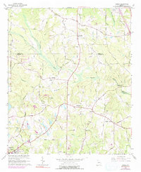
Editions of this 1964 Luella Map
3 editions found
Other maps of this area

1951 · Barnesville
USGS Topo · 1:62,500

1953 · Atlanta
USGS Topo · 1:250,000

1957 · Atlanta
USGS Topo · 1:250,000

1958 · Atlanta
USGS Topo · 1:250,000

1964 · Luella
USGS Topo · 1:24,000
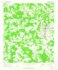
1964 · Mc Donough
USGS Topo · 1:24,000
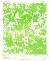
1964 · Ola
USGS Topo · 1:24,000
1964 · Locust Grove
USGS Topo · 1:24,000
1965 · Hampton
USGS Topo · 1:24,000

1965 · Griffin North
USGS Topo · 1:24,000