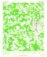
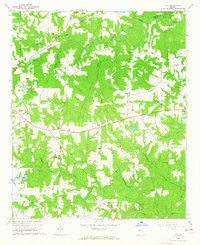
1964 Map of Mc Donough
USGS Topo · Published 1965About this map
The Southern railroad corridor anchors the landscape of central Henry County, connecting the established community of McDonough with the smaller settlements of Flippen and Blacksville. This mid-century survey reveals a transition between town and country, where the urban grid of the county seat gives way to a network of family-named roads like Chambers Road and Bridges Road. Social centers are clearly defined by numerous rural congregations and burial grounds, including the Shingle Roof Campground, Philadelphia Ch, and the Mt Olive Sch. Toward the southern edge, the terrain descends into the Bethlehem Bottoms near the Towaliga River, highlighting the agricultural value of the area's many waterways such as Cotton Indian Creek and Tissahaw Creek. Aviation activity is noted at the McDonough Airport and a secondary Airstrip, reflecting the area's development as it appeared in the early 1960s.
Find a feature on this map
52 named features on this map. Tap any name to fly to it.
Don’t see what you’re looking for? This feature index may not catch every label — zoom into the map to look around manually.
Map Details
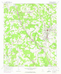
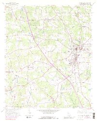
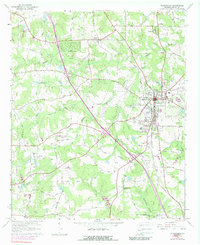
Editions of this 1964 Mc Donough Map
4 editions found
Other maps of this area

1888 · Atlanta
USGS Topo · 1:125,000

1890 · Atlanta
USGS Topo · 1:125,000

1892 · Atlanta
USGS Topo · 1:125,000

1895 · Atlanta
USGS Topo · 1:125,000

1953 · Atlanta
USGS Topo · 1:250,000

1954 · Jonesboro
USGS Topo · 1:24,000

1957 · Atlanta
USGS Topo · 1:250,000

1958 · Atlanta
USGS Topo · 1:250,000

1964 · Luella
USGS Topo · 1:24,000
1964 · Ola
USGS Topo · 1:24,000