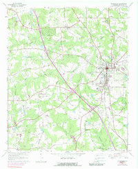
1964 Map of Mc Donough
USGS Topo · Published 1989About this map
The Georgia piedmont town of McDonough serves as a central hub in this mid-1960s landscape, where established agriculture meets the growing infrastructure of Henry County. The Southern railroad bisects the terrain, connecting the smaller community of Flippen in the north to the residential outskirts of Blacksville. The map reveals a high concentration of rural social centers, specifically family cemeteries and country churches that anchored these communities for generations. Many of these, such as Mt Olive Ch and Philadelphia Ch, are accompanied by named burial grounds like Akin Cem and Westmoreland Cem.
Find a feature on this map
49 named features on this map. Tap any name to fly to it.
Don’t see what you’re looking for? This feature index may not catch every label — zoom into the map to look around manually.
Map Details
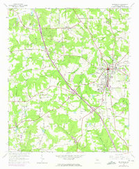
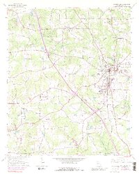
Editions of this 1964 Mc Donough Map
4 editions found
Other maps of this area

1888 · Atlanta
USGS Topo · 1:125,000

1890 · Atlanta
USGS Topo · 1:125,000

1892 · Atlanta
USGS Topo · 1:125,000

1895 · Atlanta
USGS Topo · 1:125,000

1953 · Atlanta
USGS Topo · 1:250,000

1954 · Jonesboro
USGS Topo · 1:24,000

1957 · Atlanta
USGS Topo · 1:250,000

1958 · Atlanta
USGS Topo · 1:250,000

1964 · Luella
USGS Topo · 1:24,000
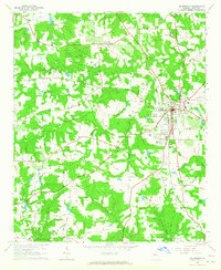
1964 · Mc Donough
USGS Topo · 1:24,000