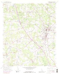
1964 Map of Mc Donough
USGS Topo · Published 1989About this map
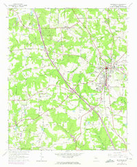
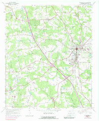
McDonough serves as the focal point of this mid-1960s survey of Henry County, exhibiting the expansion of the town center alongside established rural landmarks. The landscape is defined by its watercourses, including Walnut Creek, Camp Creek, and the southern flow of the Towaliga River. Cultural and religious centers are scattered throughout the countryside, with several historically significant congregations such as Salem Ch, Mt Olive Ch, and Philadelphia Ch anchoring their respective communities. The Southern railroad line cuts through the terrain, connecting the settlement of Flippen to the commercial hub of McDonough. Genealogists will find particular value in the numerous family-named burial grounds and meeting places, including Brannan Cem, Cleveland Cem, and the Shingle Roof Campground. The map also captures infrastructure developments like the Radio Facility and a Landing Strip, signaling the area's gradual shift toward modern utility while maintaining its agricultural character.
Find a feature on this map
51 named features on this map. Tap any name to fly to it.
Don’t see what you’re looking for? This feature index may not catch every label — zoom into the map to look around manually.
Map Details
Editions of this 1964 Mc Donough Map
4 editions found
Other maps of this area

1888 · Atlanta
USGS Topo · 1:125,000

1890 · Atlanta
USGS Topo · 1:125,000

1892 · Atlanta
USGS Topo · 1:125,000

1895 · Atlanta
USGS Topo · 1:125,000

1953 · Atlanta
USGS Topo · 1:250,000

1954 · Jonesboro
USGS Topo · 1:24,000

1957 · Atlanta
USGS Topo · 1:250,000

1958 · Atlanta
USGS Topo · 1:250,000

1964 · Luella
USGS Topo · 1:24,000
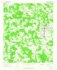
1964 · Mc Donough
USGS Topo · 1:24,000