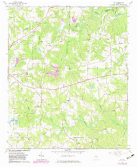
1964 Map of Ola
USGS Topo · Published 1983About this map
The settlement of Ola serves as the focal point of this eastern Henry County landscape, where the headwaters of Tussahaw Creek and Nails Creek carve through the terrain. The map reveals a deeply rooted rural community defined by its proximity to the South River and a dense network of family-named landmarks and country roads such as Upchurch Road and Mc Garity Road. These routes connect a significant concentration of early religious and educational sites, including Ola Sch and Timberidge Ch. The distribution of burial grounds like Old Mt Bethel Cem and Humphrey Cem suggests a long history of family homesteads scattered between the creek bottoms. Aerial updates from the early 1980s highlight changing land use patterns, including the emergence of the Iris Lakes and evolving field boundaries, providing a bridge between mid-century agriculture and modern residential growth in this part of Georgia.
Find a feature on this map
59 named features on this map. Tap any name to fly to it.
Don’t see what you’re looking for? This feature index may not catch every label — zoom into the map to look around manually.
Map Details
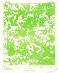
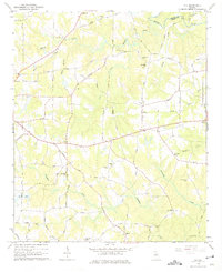
Editions of this 1964 Ola Map
Other maps of this area

1888 · Atlanta
USGS Topo · 1:125,000

1890 · Atlanta
USGS Topo · 1:125,000

1892 · Atlanta
USGS Topo · 1:125,000

1895 · Atlanta
USGS Topo · 1:125,000

1896 · Monroe
USGS Topo · 1:125,000

1953 · Atlanta
USGS Topo · 1:250,000

1953 · Athens
USGS Topo · 1:250,000

1957 · Atlanta
USGS Topo · 1:250,000

1958 · Athens
USGS Topo · 1:250,000

1958 · Atlanta
USGS Topo · 1:250,000