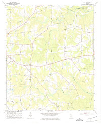
1964 Map of Ola
USGS Topo · Published 1975About this map
Ola stands as the central community of this agricultural landscape in eastern Henry County, just as it was being formally surveyed in the mid-1960s. The settlement pattern is defined by a high density of rural institutions, particularly along the winding routes of South Bethany Road and Jackson Road. Notable landmarks include several longstanding congregations and their burial grounds, such as Mt Carmel Ch, Antioch Ch, and the Old Mt Bethel Cem.
Find a feature on this map
58 named features on this map. Tap any name to fly to it.
Don’t see what you’re looking for? This feature index may not catch every label — zoom into the map to look around manually.
Map Details
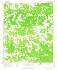
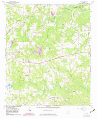
Editions of this 1964 Ola Map
Other maps of this area

1888 · Atlanta
USGS Topo · 1:125,000

1890 · Atlanta
USGS Topo · 1:125,000

1892 · Atlanta
USGS Topo · 1:125,000

1895 · Atlanta
USGS Topo · 1:125,000

1896 · Monroe
USGS Topo · 1:125,000

1953 · Atlanta
USGS Topo · 1:250,000

1953 · Athens
USGS Topo · 1:250,000

1957 · Atlanta
USGS Topo · 1:250,000

1958 · Athens
USGS Topo · 1:250,000

1958 · Atlanta
USGS Topo · 1:250,000