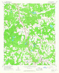
1965 Map of Hampton
USGS Topo · Published 1967About this map
Hampton and Lovejoy serve as the primary hubs of this mid-1960s landscape, positioned along the Central of Georgia railroad. The region is defined by a dense network of country roads such as Panhandle Road and Mundys Road that connect isolated landmarks and small community centers. Cultural and scientific life is evident in features like Shiloh Ch and a Seismograph (Univ of Georgia) facility.
Find a feature on this map
65 named features on this map. Tap any name to fly to it.
Don’t see what you’re looking for? This feature index may not catch every label — zoom into the map to look around manually.
Map Details
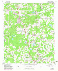
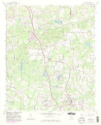
Editions of this 1965 Hampton Map
3 editions found
Other maps of this area

1888 · Atlanta
USGS Topo · 1:125,000

1890 · Atlanta
USGS Topo · 1:125,000

1892 · Atlanta
USGS Topo · 1:125,000

1895 · Atlanta
USGS Topo · 1:125,000

1953 · Atlanta
USGS Topo · 1:250,000

1954 · Jonesboro
USGS Topo · 1:24,000

1954 · Riverdale
USGS Topo · 1:24,000

1957 · Atlanta
USGS Topo · 1:250,000

1958 · Atlanta
USGS Topo · 1:250,000

1964 · Luella
USGS Topo · 1:24,000