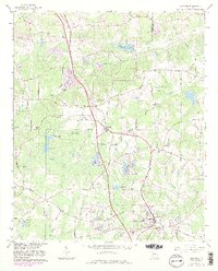
1965 Map of Hampton
USGS Topo · Published 1983About this map
Central of Georgia rail lines anchor the landscape of this mid-century survey, cutting a path through the rolling terrain between Clayton and Henry counties. The town of Hampton sits at the southern edge, significantly marked by the Atlanta International Raceway, while smaller settlements like Lovejoy and Hastings dot the corridor to the north. This era reveals a transition from traditional rural patterns to more modern infrastructure, evidenced by the presence of a Seismograph and the FAA Control Center.
Find a feature on this map
51 named features on this map. Tap any name to fly to it.
Don’t see what you’re looking for? This feature index may not catch every label — zoom into the map to look around manually.
Map Details
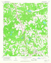
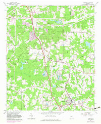
Editions of this 1965 Hampton Map
3 editions found
Other maps of this area

1888 · Atlanta
USGS Topo · 1:125,000

1890 · Atlanta
USGS Topo · 1:125,000

1892 · Atlanta
USGS Topo · 1:125,000

1895 · Atlanta
USGS Topo · 1:125,000

1953 · Atlanta
USGS Topo · 1:250,000

1954 · Jonesboro
USGS Topo · 1:24,000

1954 · Riverdale
USGS Topo · 1:24,000

1957 · Atlanta
USGS Topo · 1:250,000

1958 · Atlanta
USGS Topo · 1:250,000

1964 · Luella
USGS Topo · 1:24,000